The Survey Association, in partnership with English Heritage, hosted a one day conference on the use of Unmanned Aerial Vehicles (UAV) for surveys last week at the Newark Showground which was attended by Paul Baggaley and Ben Urmston.
These UAV systems can provide high resolution photogrammetry surveys over sites ranging in size from individual buildings to entire landscapes and have already been utilised on projects by Wessex Archaeology on sites in the South West in partnership with Callen Lenz, the market leader for UAV surveys.
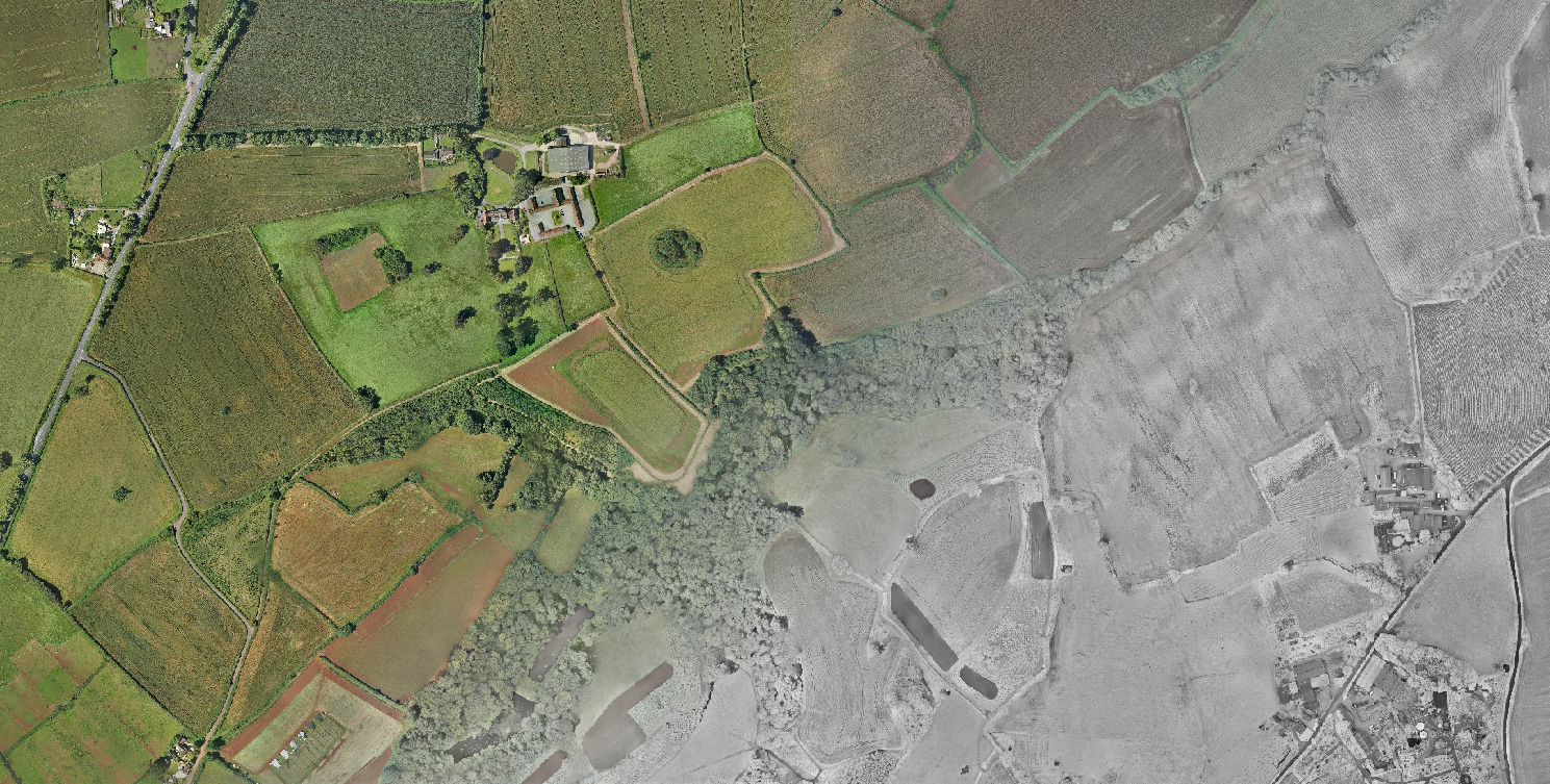
Ben Urmston, Terrestrial Geophysics and Geomatics Technical Manager, said “We are only just starting to appreciate the opportunities which these new technologies can bring to archaeological projects and heritage asset management. A conference like this was very useful in term of understanding how the hardware and software is developing, so that we can keep Wessex at the forefront of delivering high-tech solutions for our clients which will save them both time and money”.