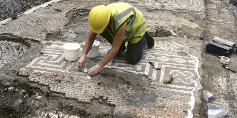
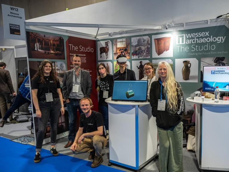
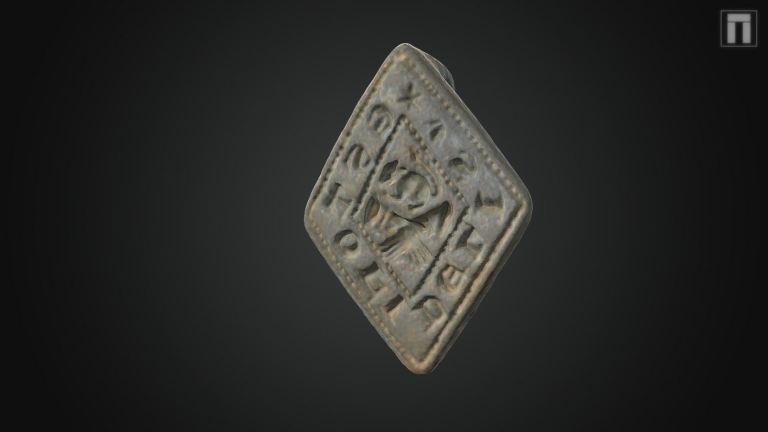
News
Helping out at Pompeii
Public urged to search the shore and share their stories in Western Isles


Fishermen, beachcombers, divers and local people in the Western Isles are being urged to report anything unusual they’ve spotted at the shoreline or under the sea to a new archaeological project, launched this week.
The project – a partnership between RCAHMS, WA Coastal & Marine, Historic Scotland and Comhairle nan Eilean Siar – is searching for the prehistoric and historic remains of the coastal and marine areas of the Outer Hebrides.
Rising sea levels and coastal erosion make the search for previously undiscovered archaeology in the Western Isles a priority, as there is always the real danger that it could be lost for good.
A key feature of the project is getting local people involved in sharing their knowledge of potential sites of archaeological remains and involving them in research work.
The team hopes to make some discoveries of previously unknown sites as a direct result of 'tip-offs' from the local community.
That’s why they’re inviting local people to a talk this week to find out more [Taigh Chearsabhagh Arts Centre on North Uist at 7pm on 12 October 2011] and holding regular sessions in a local venue to encourage people to come forward with their stories.
By working with local people the project aims to explore the rich coastal and maritime history of the Outer Hebrides which spans thousands of years.
Evidence of the remains of ancient settlements, fish-traps , even tree stumps that may now lie submerged, and other finds and fragments from the inter-tidal zone, are all part of the puzzle that the project wants to hear about, in order to piece together stories of the past.
The sorts of things the team are looking for are often discovered by accident when landing a boat or walking along a shoreline when there’s a particularly low tide.
Speaking on behalf of the project partners, RCAHMS archaeological investigator Alex Hale said:
“The Outer Hebrides have been lived on for many thousands of years and they contain a rich prehistoric and historic legacy.
“Because of the islands’ importance to seafaring over the centuries, many of the remains of buildings and settlements are found around the coastal fringes - including under the sea and in lochs. Due to rising sea-levels and the power of the sea, these remains are now at risk of being lost.
We hope that local people who might live or work on the shore and the sea – and anyone with a good knowledge of the islands – will come forward with stories and information.”
Deborah Anderson from CNE-Siar’s Western Isles Archaeology Service said, “The archaeology of the Outer Hebrides is remarkable in the extent of its survival, however there is considerable pressure on sites from coastal erosion. Over the last 10,000 years a substantial area of land has been submerged by rising tides including areas of prehistoric land surfaces, which could hold early settlement remains.
Recent discoveries of prehistoric sites in the intertidal areas indicate that there are still pockets of preservation in some places. By integrating the land based coastal archaeological evidence and the information we acquire from locals through this project, we will better understand how people lived and worked on our islands over the last 9,000 years.”
Dr Jonathan Benjamin of WA Coastal & Marine added “We have already received a warm welcome in Stornoway and we are looking forward to meeting people interested in the history and archaeology of Uist.”
For more information about the project or to have a chat about getting involved, people can email marine@rcahms.gov.uk or visit the Outer Hebrides Coastal Community Marine Archaeology Pilot Project website.
-ENDS –
Notes for Editors
1. OHCCMAPP is a community-oriented project: a partnership between WA Coastal & Marine, the Royal Commission on the Ancient and Historical Monuments of Scotland (RCAHMS), Historic Scotland, CNE-Siar and the communities of the Outer Hebrides.www.wessexarch.co.uk/projects/marine/scotland/outer-hebrides/ohccmapp
2. RCAHMS is the National Collection of materials on Scotland’s built environment that connects people to places across time. It is the first port of call for information about the built environment of Scotland, from prehistory to the present and records the changing landscape of Scotland and collects materials relating to it. www.rcahms.gov.uk
3. WA Coastal & Marine is a non-profit company and a registered charity with offices throughout England and Scotland. In addition to working closely with developers as an archaeological consultancy, as a charity WA is established to promote the education of the public in the subjects of culture, arts, heritage and science through the pursuit of archaeology. www.wessexarch.co.uk
4. The role of Western Isles Archaeology Service is to identify and protect the archaeological resource of the Outer Hebrides, promote a greater awareness and understanding of the Islands’ rich archaeological heritage and encourage a sustainable approach to managing change within the Historic Environment. www.cne-siar.gov.uk/archaeology
5. Historic Scotland is an executive agency of the Scottish Government charged with safeguarding the nation’s historic environment. The agency is fully accountable to Scottish Ministers and through them to the Scottish Parliament. www.historic-scotland.gov.uk
Laser Scanning at St. John's Church in Bemerton
Wessex Archaeology’s geomatics team has recently concluded a laser scanning project at St. John’s Church in Bemerton, near Salisbury in Wiltshire. This was undertaken for Bemerton Community who, with the assistance of Paul Stevens Architecture, are in the process of converting part of the church for use as a community centre.
This most recent phase of work at St. John’s involved using a laser scanner to digitally record both interior and exterior surfaces of the church and its lych gate to millimetric precision. This data will be used by the architect to plan detailed aspects of the construction and it will also serve as a pre-alteration heritage record for posterity.
This work complements a geophysical survey that was undertaken in the churchyard by Wessex Archaeology prior to the installation of services earlier in the year. This survey successfully identified a number of unmarked graves dating from the mid 19th Century as well as potential elements of the Church’s foundation structure.
A more detailed case-study of the laser scanning project will follow shortly, watch this space!
Metric Survey at St George's, Portland
Vast and solitary, St George's is one of the most magnificent 18th-century churches in Dorset. It rises from the rocky, treeless and dramatic peninsula of Portland and is the masterwork of a local mason named Thomas Gilbert who supplied the Portland stone used to build St Paul’s Cathedral.
Wessex Archaeology Work With Big Ben's Little Brother
The Built Heritage Team at Wessex Archaeology was recently commissioned by VINCI BAM Nuttall JV to carry out historic building recording of the Clock Tower on Victoria Street, London affectionately known as 'Little Ben'.
Little Ben was erected in 1892 by the renowned clock maker Gillett & Johnston of Croydon and is a fine example of Victorian craftsmanship. Clock towers of this type rose in popularity during the late 19th – early 20th centuries as objects of commemoration and many examples can be found throughout the country, built not only in cast iron but also in brick and stone.
Little Ben was removed from its original location following road widening works in 1964. Following a significant programme of renovation, which included the installation of a completely new mechanism as well a fresh coat of paint, the clock tower was re-erected near to its original location on 6th December 1981.
The Little Ben clock tower is scheduled to be temporarily removed as part of the upgrade works to Victoria Underground Station. It will be reinstated in its present position following the completion of the work.
Roman Remains Found at Charles Street, Dorchester
Wessex Archaeology has just completed a four week excavation within the southern part of the Charles Street Development in Dorchester. Neil Holbrook, of Cotswold Archaeology has been acting as archaeological consultant on behalf of the developers, Simons Developments and WDDC. A watching brief is currently being maintained on groundwork being undertaken by Cowlin Construction and their subcontractors associated with the construction of West Dorset District Council’s new offices, library and adult learning centre.
As the site occupies an area near to the southern edge of the Roman town of Durnovaria it was predicted evidence of Roman town life would be uncovered during the works. The prediction proved correct; immediately below the modern overburden, the remains of Roman houses were uncovered.
These buildings were built around 100AD and were orientated according to the town’s street plan, which it has been possible to map using evidence from other excavations in Dorchester.
These houses were in the vicinity of the southern wall of the Roman town and the public baths. They were well built with stone wall foundations and according to convention at the time were adorned with painted plaster walls, areas of mosaic floors and tiled roofs. As represented by the discovery of a column base one house may also have had a colonnaded walkway, perhaps around a courtyard or garden area.
Deposits associated with these buildings contained artefacts representative of everyday domestic life including pottery, coins, animal bones and also the burial of a baby.
The houses survived until they were systematically demolished around 300 AD. After this no further structures were built and robbing of useful building material continued right up until the 17th Century.
Beneath the floors of the Roman houses large deposits of rubble had been used to level off the site prior to their construction. Amongst this material were finds including a fragment of a Kimmeridge shale bracelet, pieces of Spanish amphora (used to transport olive oil) and a collection of gaming counters made out of chalk and pieces of pottery.
After the results of the fieldwork have been assessed if you would like to learn more about this site and the inhabitants of Roman Durnovaria, Wessex Archaeology will be hosting a talk on the project, details of which will be posted here. There will also be a report which will be available to download from our archaeological reports section. On completion of the project, all finds will be deposited with the Dorset County Museum in Dorchester.
Find out more about our work and discoveries at Charles Street, Dorchester.
Wessex Archaeology on the BBC's One Show
Work undertaken by Wessex Archaeology will feature in a documentary entitled “Mystery of the Women on the HMS London” on BBC1’s The One Show this Friday at 7.00pm.
The documentary, presented by Dan Snow, explores the 17th century English warship, the HMS London lost in the Medway in 1655 as it sailed out to battle against the Dutch. It appears there was a disastrous accident, which led to several tons of gunpowder exploding, sinking the ship. The recent discovery of the remains of several females on the ship is a strange occurrence – what were these women doing in this usually male environment?
Wessex Archaeology carries out diving fieldwork on the London for English Heritage as part of the Protection of Wrecks Act contract. The film offers the opportunity for you to see this amazing wreck, as the cameras follow our divers under water.
The item is scheduled for the 2nd of September on BBC1’s One Show at 7pm.
Rochester Regional Director Helen Glass becomes a Chartered Environmentalist
Excavation at Mexborough Glass Works
New Book on HMS Drake
HMS Drake, a site investigated by Wessex Archaeology, is the subject of a new book.
On 2 October 1917 HMS Drake had just escorted a convoy across the Atlantic when she was torpedoed by U-79. The torpedo blew a hole into one of the four boiler rooms instantly killing all but two of the crew at work. Then listing dangerously to her starboard side the vessel limped round the southern tip of Rathlin Island. Anchored in Church Bay Drake rolled over onto her starboard side and sank. HMS Drake has lain off Rathlin Island ever since.
In 2006 Wessex Archaeology conducted an undesignated site assessment of HMS Drake for the Northern Ireland Environment Agency (previously Environment and Heritage Service of Northern Ireland). Despite damage from the torpedo attack, the divers discovered the wreck in good condition and were able to identify many different features of the wreck.
A recent article in Belfast Telegraph recounted the sinking of the Drake detailed in Ian Wilson’s book HMS Drake: Rathlin Island Shipwreck. This new book recounts the life, times and death of the Drake and is available to order from Rathlin Island Books.
Find out more about HMS Drake including a link to a report of Wessex Archaeology’s investigation.


