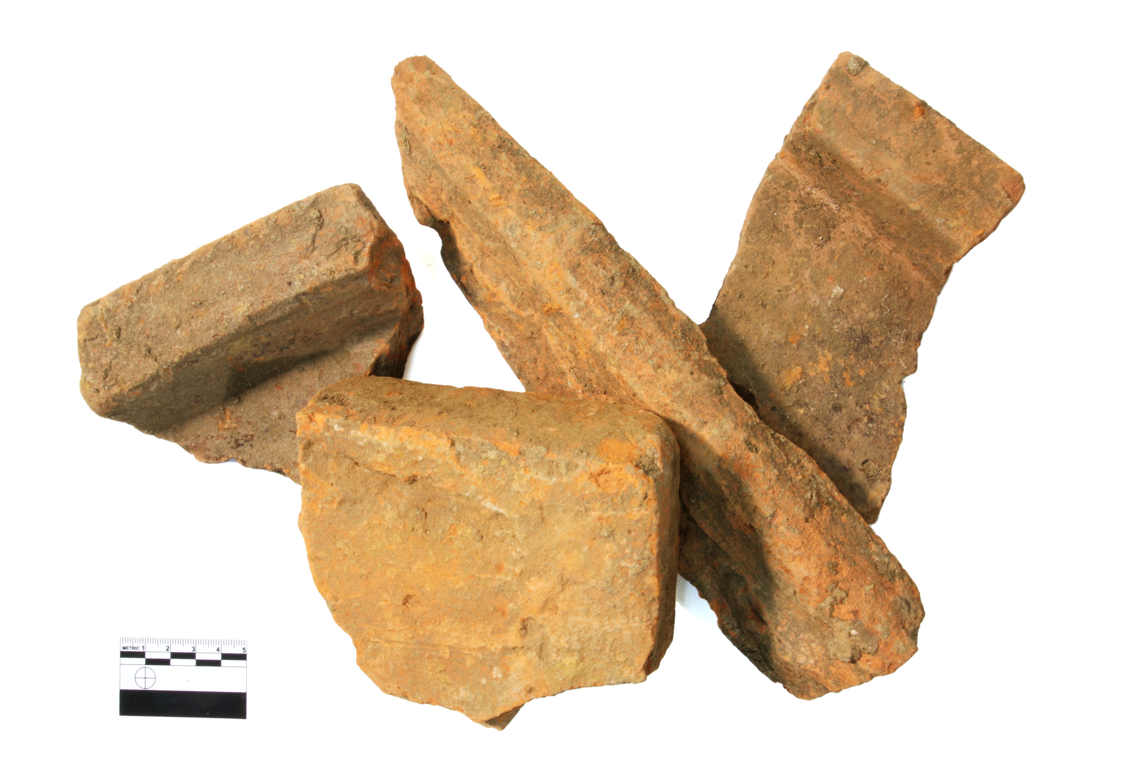
The area known as Phase 11 North is now fully exposed, unveiling a largely Bronze Age landscape. Most of the eastern side of the site contains many discrete features such as pits and postholes. Some of the pits are particularly large, and may have actually been used as waterholes - deep features dug into the natural geology to allow for easy access to water. One of the pits contained two jars, known as Globular Urns, fineware pottery vessels of Middle Bronze Age date. Both vessels appeared to have been deliberately placed in the base of the pit, perhaps as part of some ritual act. This pit also contained an unusually large quantity of Middle Bronze Age pottery sherds.
The central and western parts of the excavation are dominated by a large, and unusually triangular- shaped enclosure system of Middle Bronze Age date. There is a suggestion that a contemporaneous river channel or water course may have affected the shape of the enclosure – they are usually rectilinear in plan, a question we hope to resolve later in the excavations.
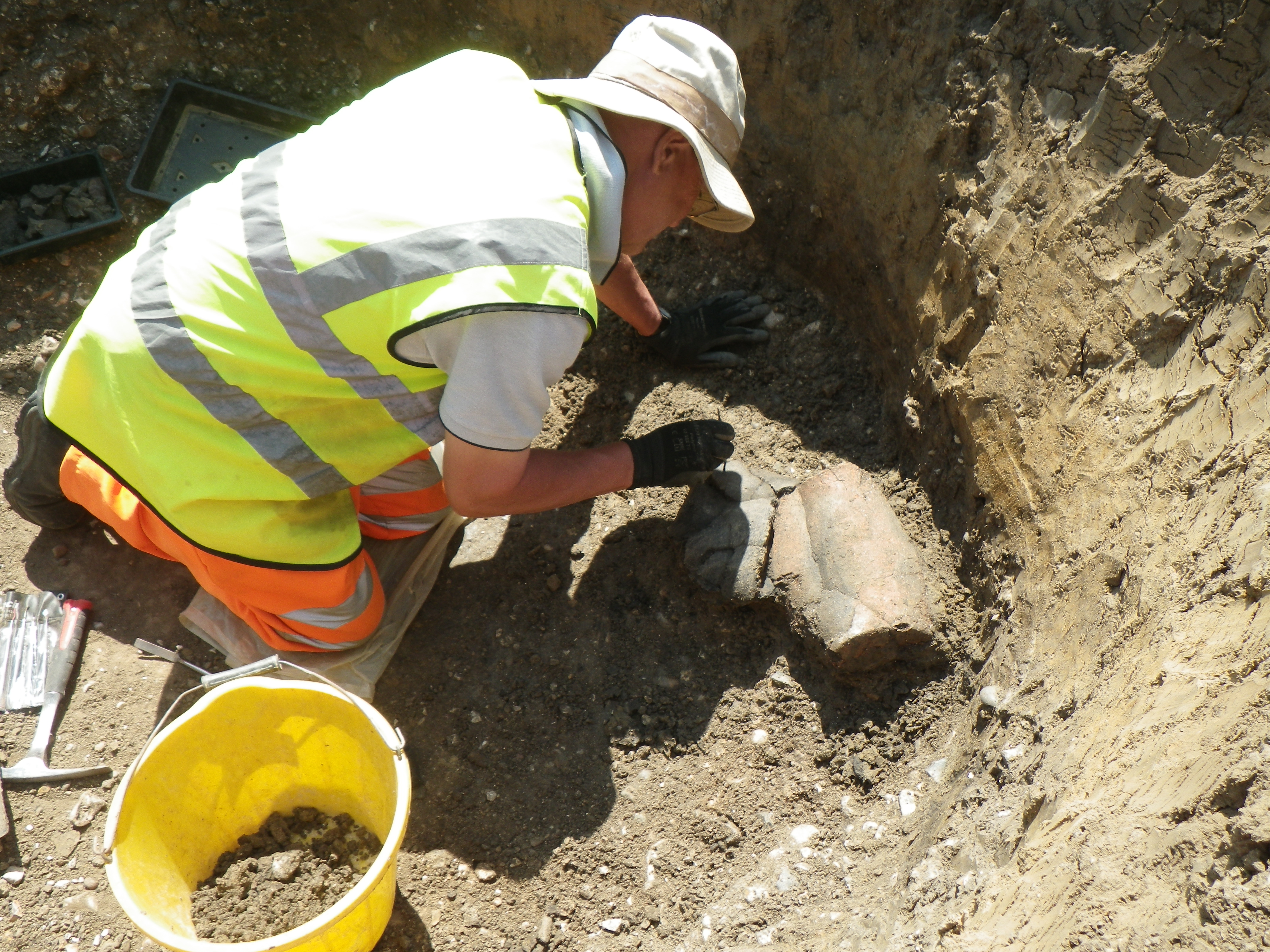
Towards the southern part of the site, and to the south-east of the enclosure, were a number of gullies, ditches, pits and a single waterhole. When seen in association with our excavations from 2012, it appears that we have found a small farmstead or settlement. Although we have no structural evidence (as in previous years), the high quantity of domestic pottery recovered from many of the features suggests that people were living here some 3500 years ago. Within the same area we also found two human burials.
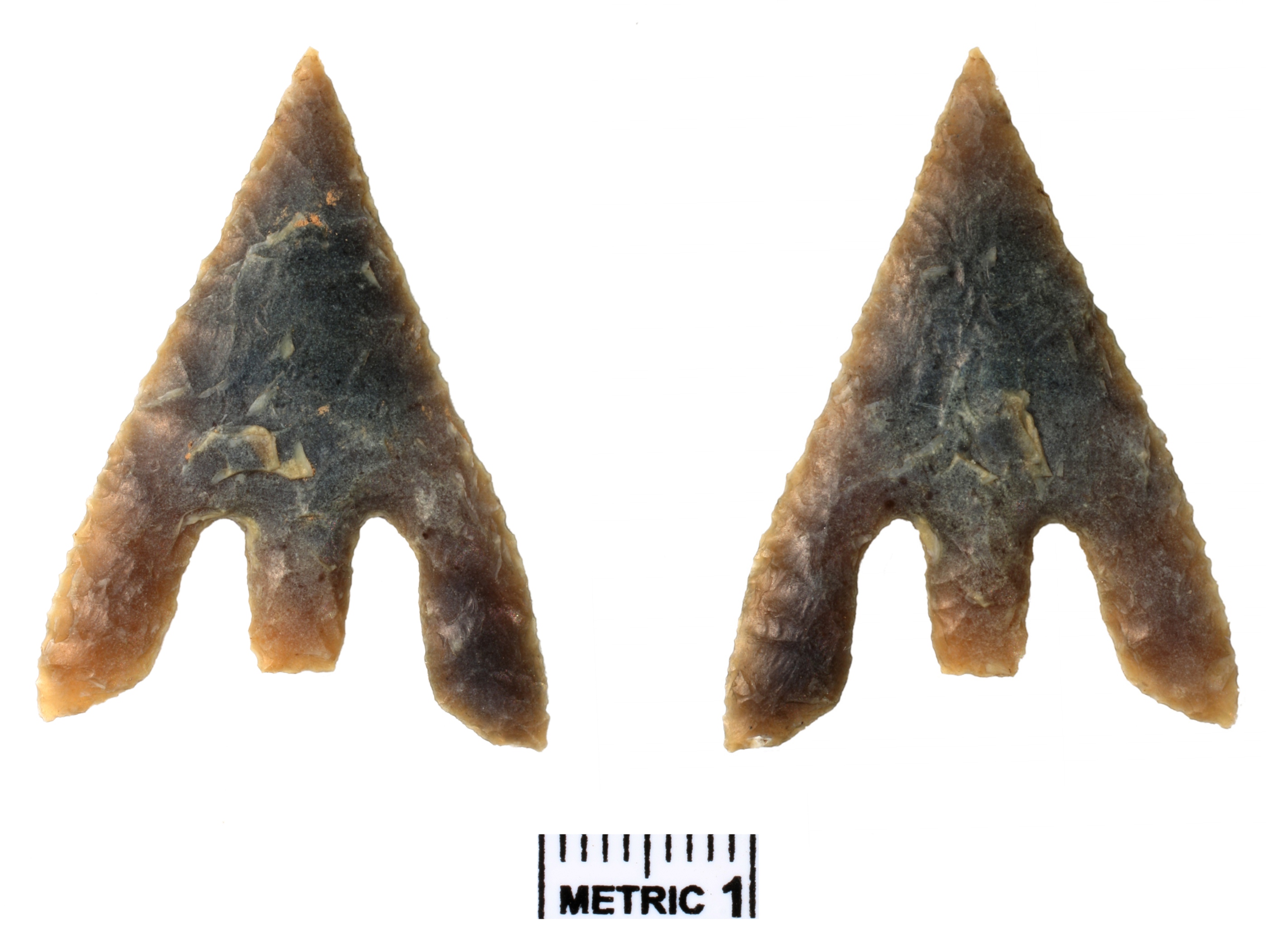
This beautiful arrowhead was recovered from the north-west corner of the enclosure system. It is a barbed and tanged arrowhead of Early Bronze Age date. It could have been incorporated incidentally, an accidental loss of a prized heirloom or deliberately placed.
The site also has evidence for a small amount of Romano-British activity (directly associated with our other excavation, Phase 12), and several interesting features on the western side of the site. Small, circular and regularly spaced, they represent the tree holes of an orchard associated with the post-medieval Horton Manor and Manor Farm. The orchard’s position is marked on the 1881 OS map of the area.
For more about the Kingsmead Quarry, Horton excavations click here