Aggregates Levy Sustainability Fund
The Aggregates Levy was introduced by the Finance Act 2001 and came into force on 1 April 2002. The levy is a tax on the extraction of aggregates (sand and gravel) which is then used to bring about environmental benefits that mitigate the damage such extraction might cause.

The Aggregate Levy Sustainability Fund (ALSF) is being financed by some of the revenue arising from the levy. The ALSF is intended to reduce damage to the environment from extracting aggregates such as sand, stone and gravel used in construction by:
-
Improving areas where aggregate extraction has taken place;
-
Helping to reduce demand for aggregates through
-
research, recycling and re-use;
-
Promoting new methods of extracting and moving aggregates.
Areas that are, or have been, affected by aggregates extraction, are to benefit from grants distributed by The Countryside Agency, English Nature and English Heritage. English Heritage will concentrate on the historic environment, including archaeological sites and landscapes. Grants are to be distributed in consultation with local authorities, interest groups and the aggregates industry.
English Heritage has highlighted a need to understand better the historic environment of areas rich in aggregates both on land and underwater, to develop predictive modelling for the benefit of the aggregates industry and planning authorities, and to improve decision making.
Project background
Wessex Archaeology has been commissioned by English Heritage and by the Minerals Industry Research Organisation (MIRO) to carry out four ALSF projects. The overall intention is to improve conservation, understanding and wider appreciation of the marine historic environment affected by aggregate dredging, by:
-
improving basic understanding of the marine historic environment;
-
increasing awareness and expertise in respect of the marine historic environment among aggregate companies, their staff, archaeological curators and archaeological contractors;
-
engaging the wider public in the marine historic environment and its importance to the history of England;
-
enhancing national and local archaeological records;
-
enhancing ability to assess archaeological potential;
-
generating guidance on best practice;
-
providing comparable data on the effectiveness of different investigative techniques;
-
identifying and give effect to avenues for archiving and disseminating results.
WA’s ALSF projects are addressing two key questions:
-
baseline data gaps; and
-
methodologies for assessing actual impacts.
Two broad archaeological themes are being considered, namely:
-
submerged prehistoric sites;
-
maritime sites (wrecks of ships and aircraft).
These key questions and themes led to a framework for the four principal projects
Links to four principal projects
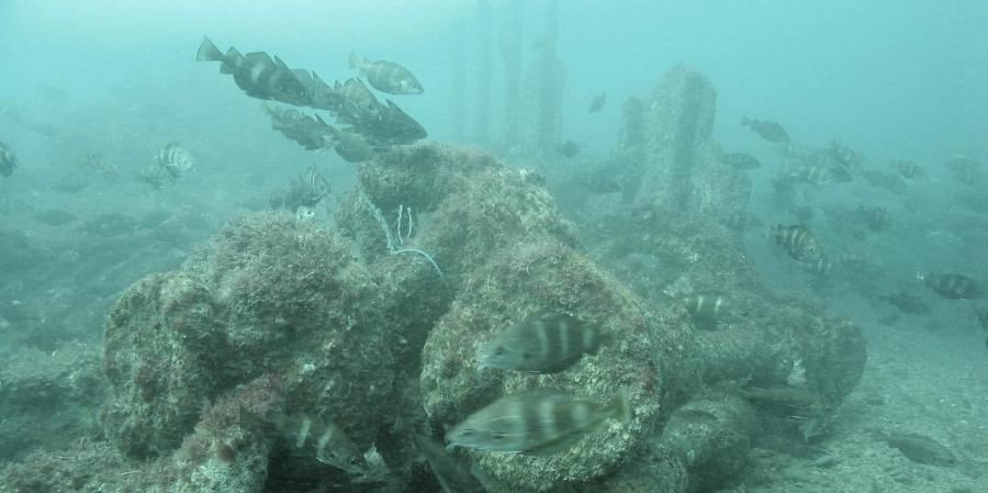
WA’s projects are seeking to move away from over-generalised statements of impact to a more clearly quantified understanding of known and potential effects. Artefacts from the Sea is improving the accessibility and usefulness of records of previous discoveries of prehistoric material, in order to gauge the possible presence and character of prehistoric sites offshore. England’s Shipping is mobilising old documentary records of ship movements to indicate likely patterns of wrecking in periods prior to the systematic recording of actual losses. Seabed Prehistory is adapting standard geotechnical and geophysical survey methods to enable the localisation of actual deposits of archaeological interest, as well as providing scientific data that are refining sea-level curves and models of coastal change. Wrecks on the Seabed is elaborating a staged approach to the evaluation of ship and aircraft wrecks through the integrated use of diving and high-resolution geophysics
All four projects involve dissemination elements, including publication and public outreach. Overall, their intention is to ensure that aggregate companies, their consultants, the regulatory authorities and the general public are better informed, so that reasonable decisions are more readily made.