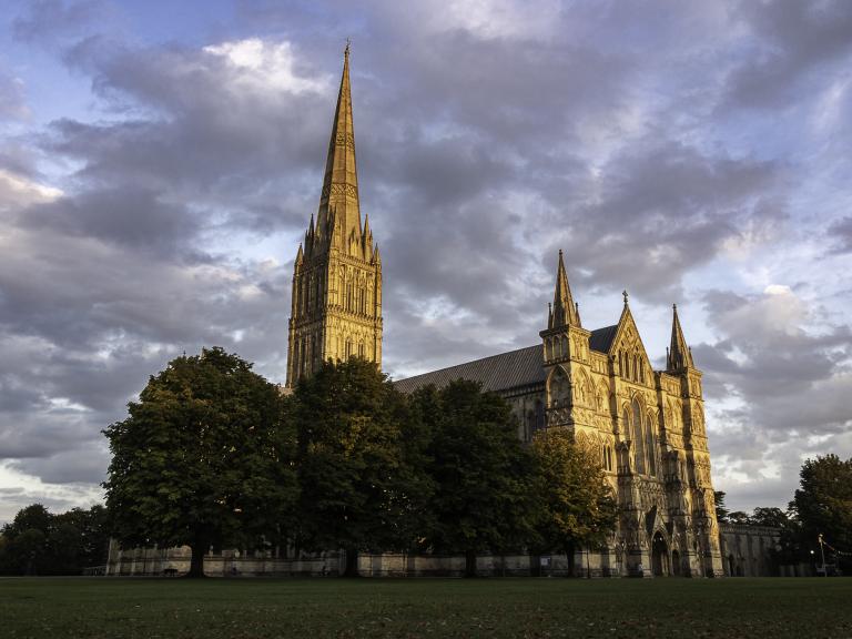
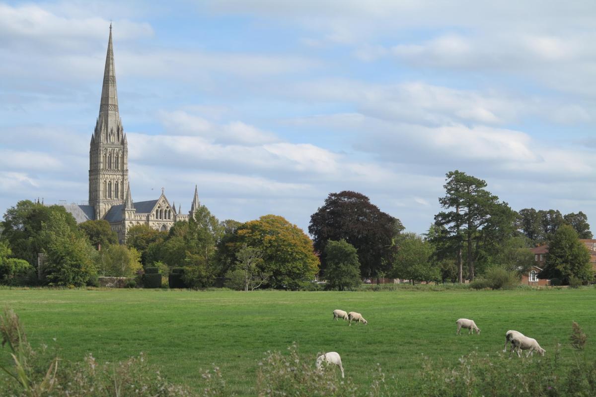
Water, and its management, together with the associated archaeology of the flood plain, forms an important part in any study of the city. The subject remains as relevant today as ever, when issues of global warming and flood relief are discussed increasingly. Our weekly pages have already drawn attention to the important use of water and its control in the network of channels which dominated the street layout. In addition, water management was essential for mills, both for grinding grain and subsequently to power fulling mills, which contributed to the economy. Salisbury is also well known for its water meadows, which were portrayed in the images of John Constable. This ingenious piece of civil engineering was designed to promote the growth of grass early in the year. Despite the importance of the floodplain, opportunities for archaeology to contribute to the story are rare; most of the land within our study area remains, thankfully, undeveloped.
The large expanse of open water meadows makes it very easy to assume that nobody has ever lived there and that there is nothing to find. However, the flood plain was a sufficiently important part of the landscape which created its own form of archaeology. Features can be hidden beneath flood alluvium and contain well preserved organic remains. Archaeological evidence of this type featured on our visit to the Dominican priory where the watching brief of 1984-5 in The Maltings (WA Project W88) recorded traces of a post medieval timber revetment. Wooden river frontages of this type, some very decayed, still border the river channels and undoubtedly have done for centuries, as Constable’s paintings of 18th century landscapes make clear.
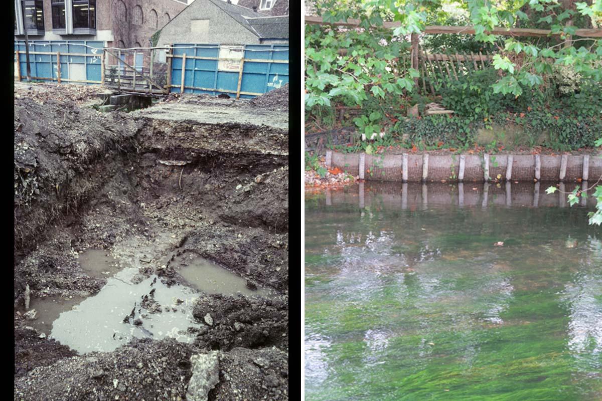
Timber revetments - left: a post-medieval example from The Maltings (WA Project W88), right: a modern equivalent on the same river, 2020
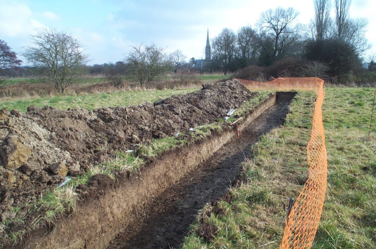
Small scale archaeological investigations were also undertaken before the Salisbury Central Health Clinic, Castle Street (WA Project 63630) was built on land between the river and the millstream, on the western edge of the medieval city. A thick deposit of made ground covered floodplain alluvium in two machine-dug trial trenches. A relic watercourse, aligned N-S, ran through the two trenches. This feature produced a small quantity of burnt flint and unabraded worked flint. Similar quantities of worked flints have been found elsewhere on excavations in the city which indicates a likelihood that people were living by the river in the prehistoric period. Fragments of post medieval pottery and clay tobacco pipe suggested that, despite the immediate proximity of the city, the flood plain itself, beyond the city limits, remained largely unoccupied until the post medieval period.
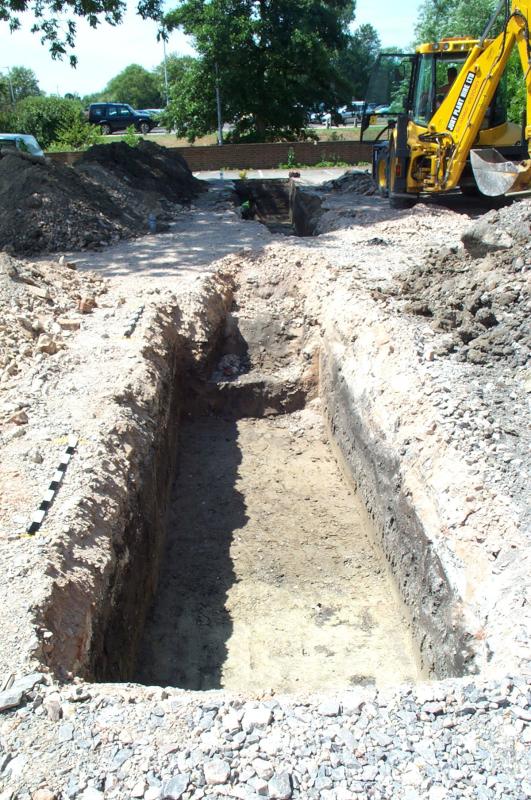
The small scale archaeological investigations undertaken at the Salisbury Central Health Clinic (WA Project 63630)
A similar pattern was found in three trial evaluation trenches at the site of the Former General Infirmary, Fisherton Street (WA Project 39900) and in six additional trenches along Cranebridge Road (WA Project 41196). Late medieval pottery was found in alluvial deposits in Fisherton Street while a possible drainage ditch was found in Cranebridge Road. Both sites produced post medieval material from the overlying cultivated soil, from which it was concluded that large areas around the hospital remained as open fields or gardens until the 19th century. Similar conclusions were made at 20 North Street, Salisbury (WA Project 58870) where a machine dug trench and three test pits were examined in 2005. This area, which formed part of settlement at Fisherton Anger, was probably maintained as pasture throughout the medieval period. Post medieval and modern pottery indicated that cultivation encroached subsequently as the area developed a residential and commercial use.
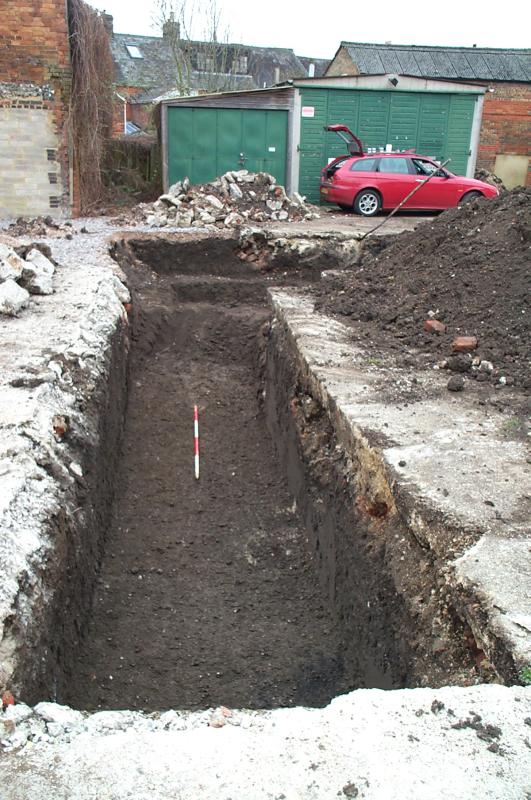
Excavations at 20 North Street, Salisbury (WA Project 58870)
These excavations have all taken place near the centre of the flood plain and contain their own forms of archaeological potential. The likelihood of human occupation increases towards the fringes of the flood plain as was hinted by work at the Harnham Flood Plain Defence Scheme: Middle Street Meadow and Harnham Recreation Ground (WA Project 62340-2). These projects lie outside our main survey area but nevertheless deserve mention to indicate the potential of the flood plain fringes.
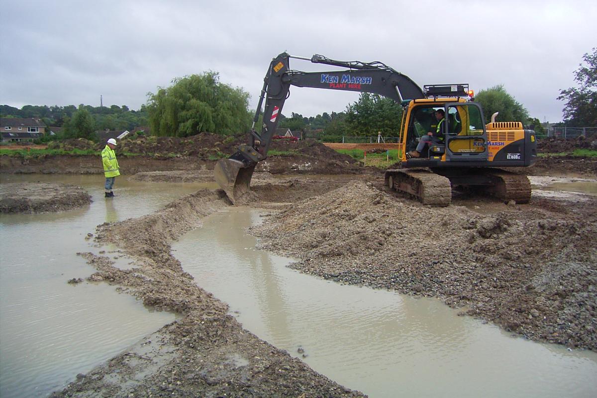
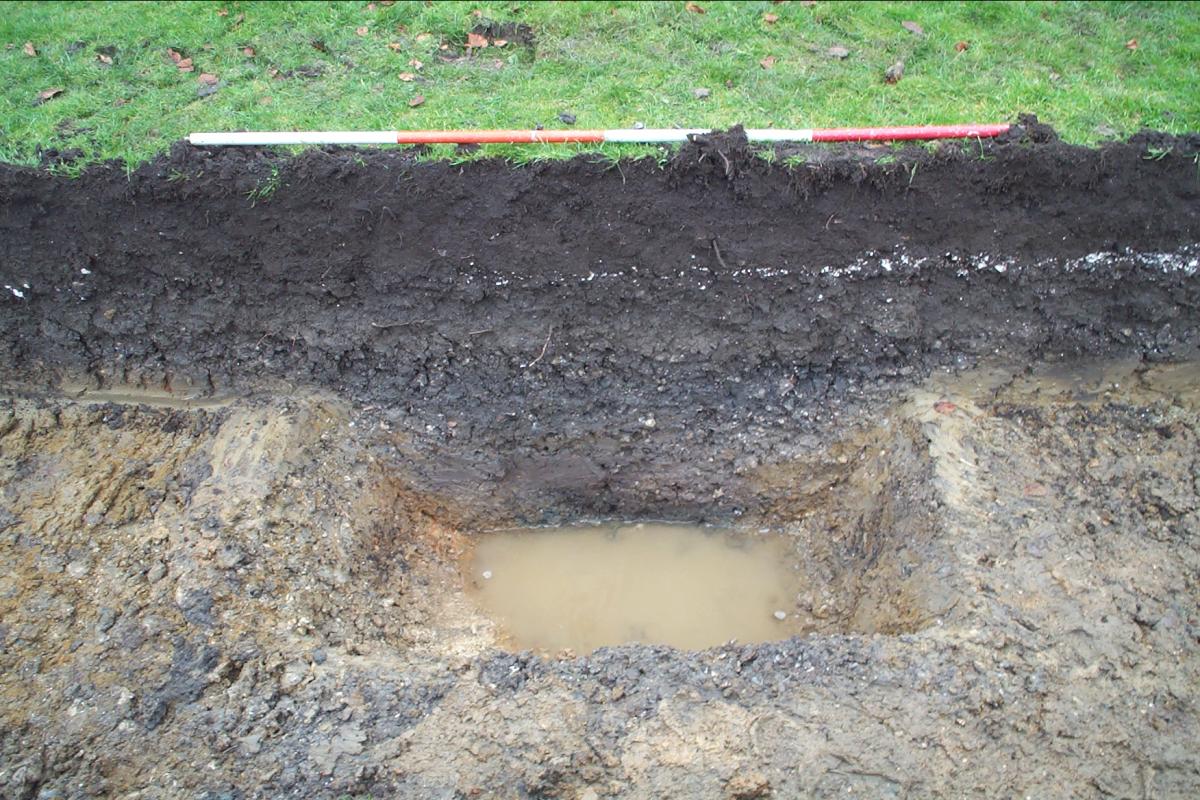
Wet conditions during excavations for the Harnham Flood Plain Defence Scheme (WA Project 62340-2)
Archaeological features, which were all covered by flood alluvium, were found in variable densities, but confirmed that people had been active along the valley margins for long periods of time. Several features were found, including two ditches, which contained worked and burnt flint indicating a prehistoric date. More significantly a ditch containing pottery, animal bone and charred plant remains was dated to the 5th and 8th centuries AD, indicating Early Saxon settlement in the vicinity. Medieval pits and probable ditches were also found which contained pottery of late 12th or 13th century date, contemporary with the foundation of the city. Some of these features were located on slightly elevated land, which may have been more suitable for a small domestic farmstead.
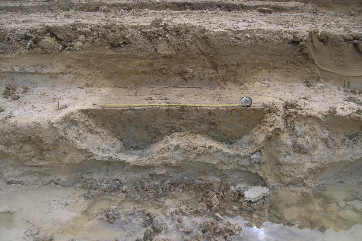
Excavations revealed two prehistoric ditches (left) and an early Anglo Saxon ditch (right), among other archaeological features
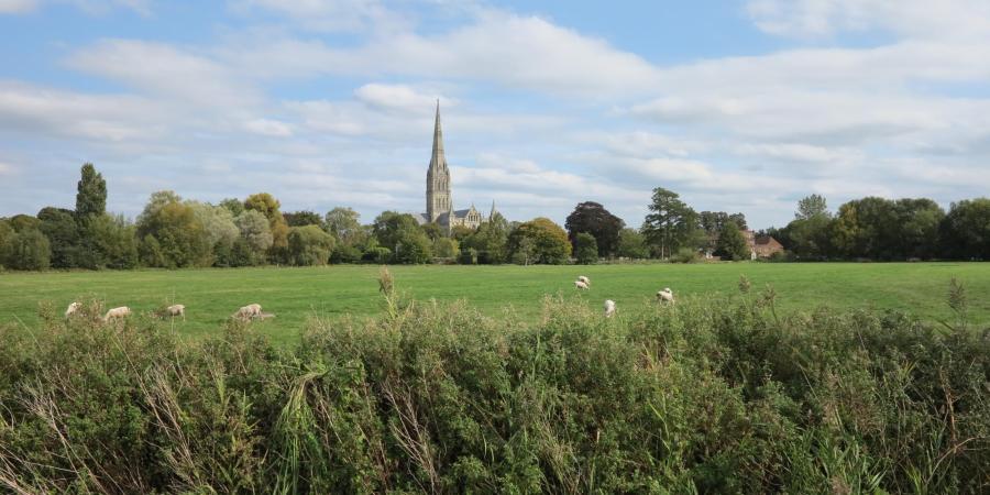
These projects have demonstrated that parts of the flood plain contain important evidence while others remained largely open. The renowned water meadows, which exist as visible earthworks and are now listed as a Site of Special Scientific Interest (SSSI), are conventionally believed to date from the 16th century.
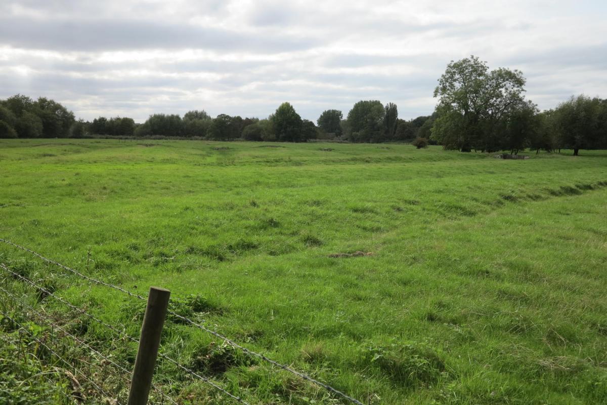
Salisbury's water meadows, seen in 2020
Despite their undoubted importance few opportunities have arisen for archaeological investigations of the water meadows; several were sampled in the work at Harnham (below) but otherwise this remains a project for the future.