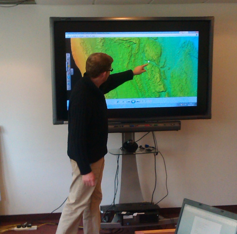
Recently Dr Claire Mellett of British Geological Survey in Edinburgh hosted a project meeting for “Understanding submerged palaeo-environments in the southern North Sea: Pathways and timescales of hominin colonisation”. The project is funded by English Heritage through the National Heritage Protection Plan, and is a collaboration between Wessex Archaeology and the BGS. The meeting focused on the recent nearshore survey conducted by BGS off the coast of Howick, Northumberland. Bathymetric data and chirp sub-bottom data were acquired and evidence of bedrock channels tracing existing river channels offshore and potential relict coastlines can be seen in the data.
This new data combined with a resource assessment of existing onshore and offshore geological, geophysical, geotechnical and archaeological datasets aims to provide key baseline assessments of palaeolandscape potential between the Humber and Northumberland. The results of this project will facilitate further research, archaeological prospection and cultural heritage management.
The datasets produced will also be publically-available and contribute to the development of merged onshore and offshore bedrock geology mapping. Keep an eye on the blog for further news!