At the outbreak of the English Civil War, the Common Council made preparations for the defence of Bristol, and on the 24th November 1642 orders were given that ‘earthworks be made in all needful places round the city for the necessary defence thereof’. However, progress on the defences was slow and on the 9th December the city was occupied for Parliament by Colonel Thomas Essex.
While the suburb of Redcliff could be defended by the medieval Portwall, which was quickly repairable, the city’s northern suburbs lay outside the medieval defences and were dangerously overlooked by the high ground to the north. To protect these areas, new earthworks, comprising a bank and ditch interspersed with forts and bastions, were constructed in a loop that extended northwards from the Avon to Lawford’s Gate in Old Market, then onwards to Stokes Croft, Kingsdown, St Michael’s Hill, and Brandon Hill.
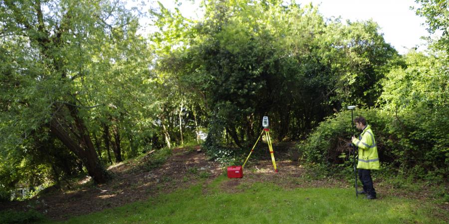
At the western end of the defences there was a fortified promontory, now known as Water Fort, which guarded the seaward entrance to the River Avon. Wessex Archaeology West was commissioned by Bristol City Council to undertake a desk-based assessment and topographic survey of Water Fort, which although ascribed to the Civil War period, does not appear on reliable historic maps until 1883.
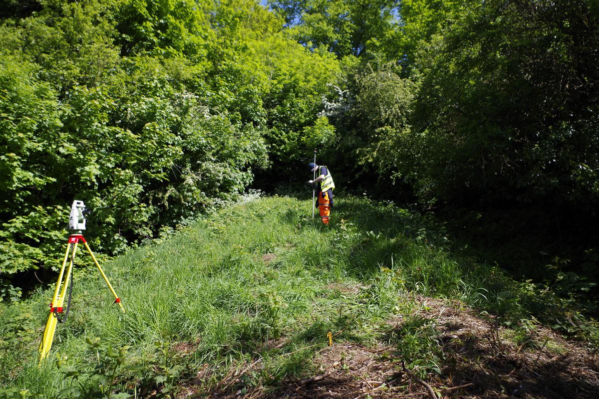
At the time of the survey the defences were largely obscured by an area of woodland and undergrowth, but were visible as a ditch terminating at the edge of the steep hillslope overlooking the river – although it is not known how much of the hillside as it existed in the 1640s has since been quarried or eroded away. Small areas of erosion were noted along an informal footpath but otherwise the earthworks were in good condition. A notable kink at the southern end of the ditch may represent one side of a firing position, and there is a similar-sized bastion approximately 90 m to the north. A geophysical survey in 2013 identified a linear feature, potentially indicating the position of a second ditch, 15 m to the east of the earthwork, and running parallel to it.