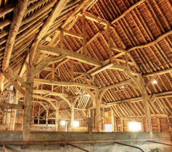
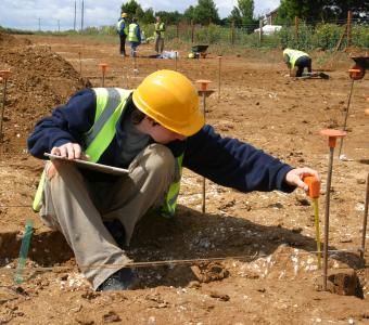
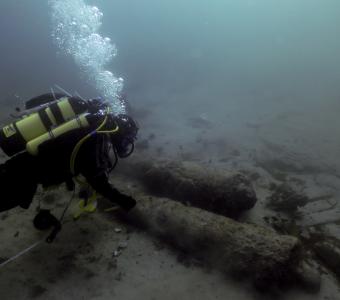
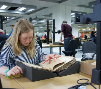
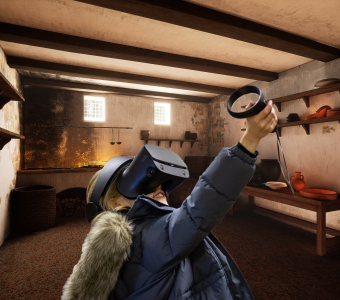
Geomatics
Browse: Geomatics Techniques | Geomatics Case Studies
Geomatics is the discipline of gathering, processing, and delivering spatially referenced information and is vital to modern archaeological practice. Wessex Archaeology makes extensive use of geomatics to support its own services and also offers specialist geomatics services directly to its clients. Working closely with other Wessex Archaeology specialists we can provide a comprehensive approach to your archaeological project.
We have one of the largest fleets of Global Navigation Satellite Systems (GNSS) in use in archaeology and a range of data capture and processing technologies. We work closely with hardware and software manufacturers and academic institutions to ensure we are at the forefront of technological advances. Combined with considerable expertise in archaeological survey, Geographic Information Systems (GIS), web and database technologies and software development, we have the tools and skills to deliver the best quality products and services for your projects.
Call Paul Cripps, Geomatics Manager, on 01722 326867 to find out how we can help you.
In addition to the list of services below, there is also more information on the techniques we use with selected case studies showing these techniques in action.
Photographic survey and analysis

Air photo rectification and interpretation
- Working with modern and historic aerial photographs to identify and record archaeological sites to National Mapping Programme (NMP) standards.
Photographic survey and recording
- Photographic surveys of sites, monuments, buildings and structures to record current state and inform other fieldwork and desk-based components
Rectified photography
- Creating rectified digital photo mosaics of buildings and structures suitable for metric analysis.
- Creating digital plan and elevation drawings.
- Interpreting the historic fabric of buildings and structures.
High Dynamic Range (HDR) photography
- Creating High Dynamic Range (HDR) images of sites, monuments, buildings and structures to make a high quality photographic record.
Polynomial Texture Mapping (PTM)
- Photographic capture of objects or smaller architectural fragments using directional light sources to enhance surface details.
- Ideal for hard-to-read inscriptions, decoration, rock art, and flint artefacts.
Find out more about our photographic recording techniques.
Metric Survey

Laser scanning
- Recording archaeological sites, monuments, buildings and structures using terrestrial and airborne laser scanning techniques.
- Producing Digital Surface Models (DSMs), digital plan and elevation drawings, wireframe and solid models.
- Using these models to interpret the archaeology and as the basis for monitoring change such as erosion and deformation.
Archaeological site recording
- Recording archaeological excavations to produce a digital record using dGNSS and TST for example as part of university research projects/programmes or Heritage Lottery Funded community archaeology projects.
Building recording and Industrial Archaeology
- Metric survey using CAD-driven Total Station Theodilites (TST) of buildings and structures to EH Metric Survey standards, all levels.
Landscape survey
- Interpretive and topographic survey of landscapes using real-time kinematic differential GNSS and Total Station Theodilite (TST), sites, monuments and earthworks to English Heritage Metric Survey standards, all levels.
Find out more about our measured survey techniques.
Cultural Resource Management and Planning

Monitoring
- Measurements or assessments of change through time using appropriate digital techniques including photography, dGNSS, laser-scanning, TST and mobile GIS/databases.
Condition surveys
- Part of asset management; repeatable, consistent recording of condition of sites, monuments, buildings and structures using standardised recording systems using mobile GIS/databases built around national standards and supported by photographic records.
Walkover survey
- Rapid assessment, identification and appraisal of landscape features using mobile GIS+GPS.
SMR enhancement
- Creating new or enhancing existing records in local Sites and Monuments Records (SMRs) and Historic Environment Records (HERs).
- Capturing information from documentary sources including aerial photography and LiDAR, field survey and other fieldwork techniques.
SMR audit
- Undertaking audits of Sites and Monuments Records (SMRs) to EH NMR standards, typically as part of the process of becoming a Historic Environment Records (HER) or securing funding for enhancement projects.
Geographic Information Systems (GIS)

LiDAR processing, analysis and interpretation
- Creating Digital Surface Models (DSMs) and Digital Terrain Models (DTMs) from airbourne and terrestrial LiDAR systems.
- Creating derived products such as slope maps, contour plots, cross-sections and hillshade models.
- Using these models to identify and record archaeological sites to National Mapping Programme (NMP) standards.
Mobile GIS
- The use of Geographic Information Systems to take data out into the field for navigation and data gathering purposes.
- Providing publicly accessible location based services such as landscape tours to mobile devices such as smartphones.
Archaeological spatial analysis
- Detailed spatial analysis of archaeological resources, typically as part of the planning process or characterisation projects including Historic Landscape Characterisation (HLC).
- Intra-site spatial analysis
GIS consultancy and advice
- Contributing as an expert in MoRPHE projects and similar projects.
- Providing advice to the production of Project Outlines and Project Designs.
- Providing advice on archaeological systems development, deployment and training.
Cartography and web-mapping
- Producing high quality digital maps, deliverable as static or interactive files or for public dissemination as online web-maps using the full range of online mapping providers (eg Google Maps, Ordnance Survey’s OpenSpace, Bing Maps, etc).
Archaeological GIS training
- Bespoke or off-the-shelf training programmes to suit the needs of archaeologists requiring GIS skills.
Digitisation
- Creating digital resources from hard-copy, particularly historical, resources.
- Producing GIS ready data for use in other projects.
Find our more about our GIS techniques.
- Tags:


