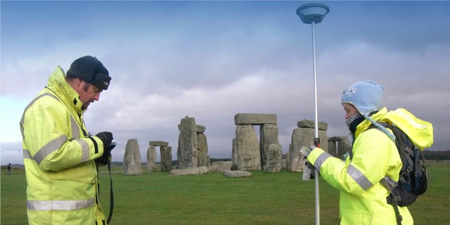
Our experts use a variety of sophisticated survey equipment to record archaeological features within a landscape during a walkover survey. Landscapes are a living canvas and can contain a record of people and communities covering thousands of years through the physical remains left behind. These remains take many forms, from 20th century buildings and medieval field boundaries, through to Bronze Age barrows and Iron Age hillforts and everything in between. Walkover surveys are a practical and systematic method of surveying and recording visible archaeological remains within the landscape.
Landscape features can be metrically recorded using Global Positioning Satellites (GPS) and/or Total Stations. This metric record is supplemented by information captured using a mobile GIS platform which is then analysed along with other spatial data, such as LiDAR, multi-spectral data or historic mapping, for interpretation and reporting.
Team


Statements of significance
Historic environment risk appraisals
Settings assessment
EIA archaeology and cultural heritage chapters
Historic environment management
Historic landscape characterisation and interpretation
Monument condition survey
Historic landscape condition survey
Scheduled monuments
Written scheme of investigation
3D modelling and visualisation

Get in touch
Contact Andrew Norton, Regional Director North