Laser scanning allows you to rapidly capture entire environments in 3D. It is quicker and provides more complete data than other types of survey, such as Total Station or GPS surveys.
This means our surveyors are on site for less time, and we can retrieve measurements and details from the data even if they were not specified at the start. This gives our clients much more flexibility.
When laser scanning is required
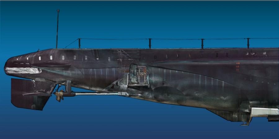
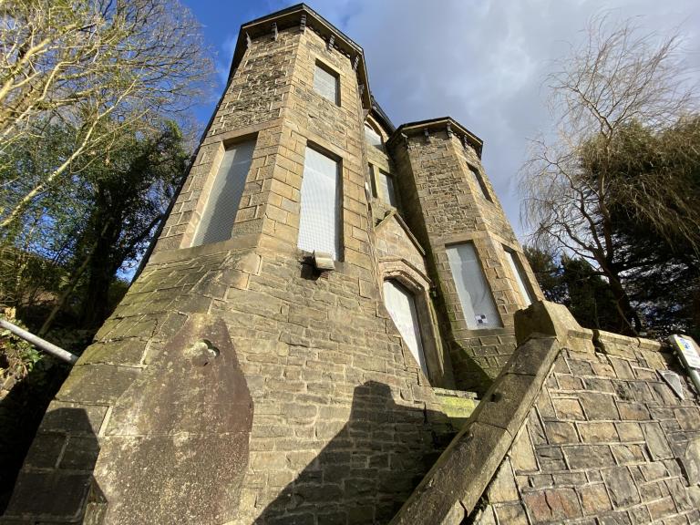
Common uses include recording buildings, landscapes and ships. The extra data captured through laser scanning allows an array of outputs, from point clouds, elevations, plans and cross sections to stunning video fly-throughs, realistic-looking images and 3D models. Quality 3D data is also essential for producing Building Information Modelling (BIM) models of historic buildings when a high level of detail is needed.
Georeferenced laser-scan data can be used for monitoring and identifying ground or structure movement through repeated visits.
How laser scanning works
Laser scanning records the distance from the scanner to points on a surface using eye-safe lasers, generating what is known as a point cloud. Combining these point clouds creates a full 3D representation of even the most complicated features.
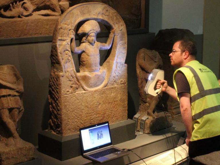
Terrestrial laser scanning is similar to LiDAR, a technique for recording landscapes from the air, which may be more appropriate for large landscapes. We also use handheld and arm-based laser scanners to record smaller subjects such as artefacts.
High-quality results
Wessex Archaeology’s team of surveyors combine unrivalled experience, historic knowledge and a dedication to providing high-quality results in close consultation with our clients.
Team