Archaeology’s contribution to resilience and readiness in the FCERM Strategy Roadmap
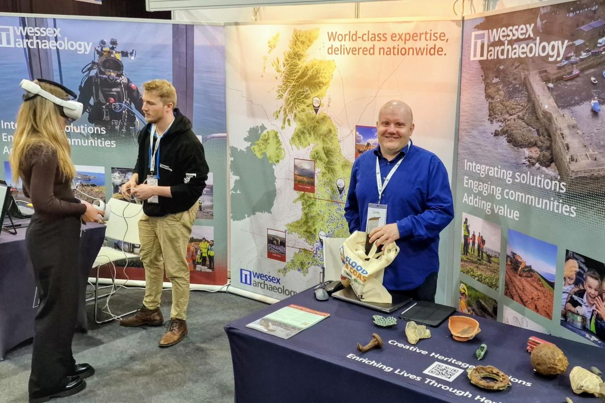
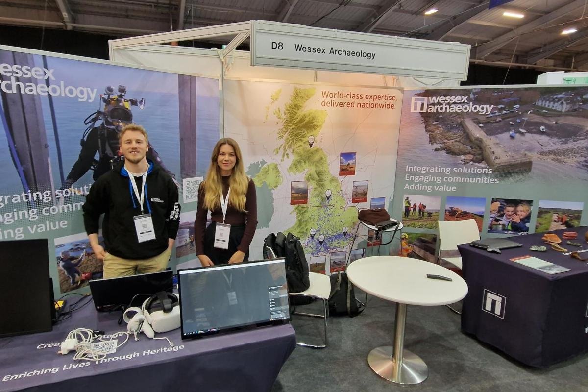
Wessex Archaeology exhibited at the annual Flood & Coast 2022 Conference & Expo earlier this month – this is our 5th year attending, and the first in-person since 2019.
Produced by CIWEM in partnership with the Environment Agency, the event brings together key stakeholders in the Flood and Coastal Erosion Risk Management (FCERM) sector to find new ways of working together and with the communities most affected by flooding and coastal erosion.
This year’s event saw the launch of the EA’s FCERM Strategy Roadmap to 2026. We had some terrific conversations with key people from across the industry on how the archaeology and heritage work required as part of development can also add significant value through all stages of a project, from informing design and enabling construction through to improving flood awareness and delivering on community benefit legacy goals.
Unique challenges of flood and coastal schemes
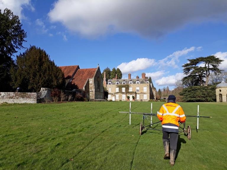
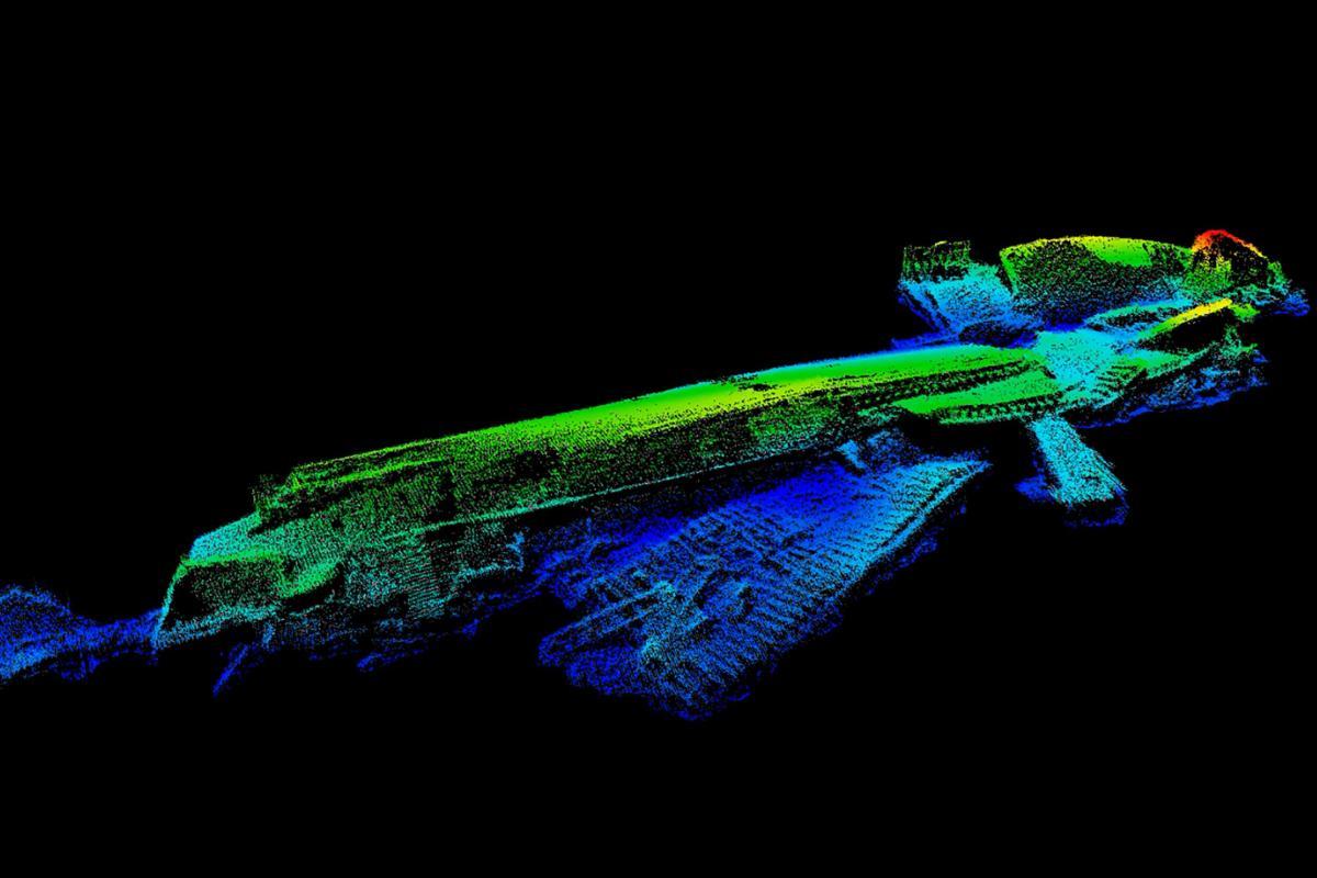
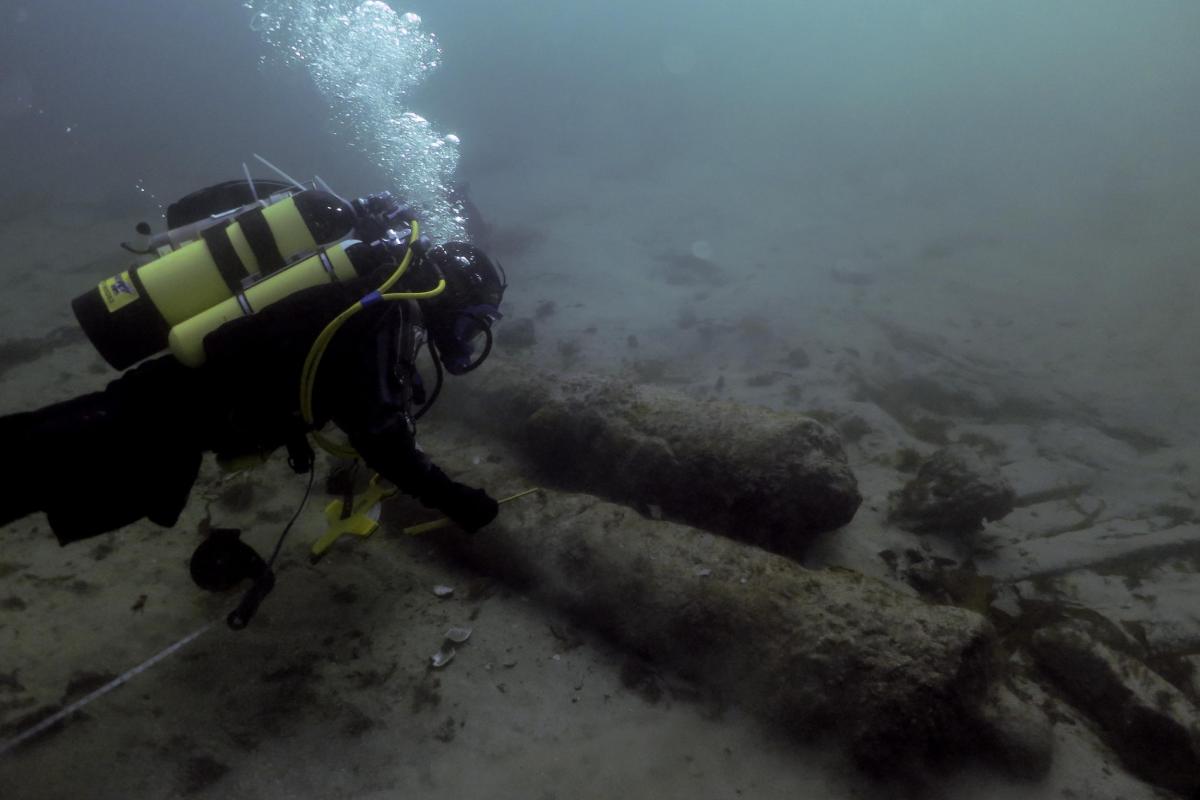
The unique heritage challenges presented by the dynamic coastal and riverine environments of flood and coastal schemes are an excellent match for our exceptional range of specialist technical services in all terrestrial, intertidal and submerged environments right across the UK.
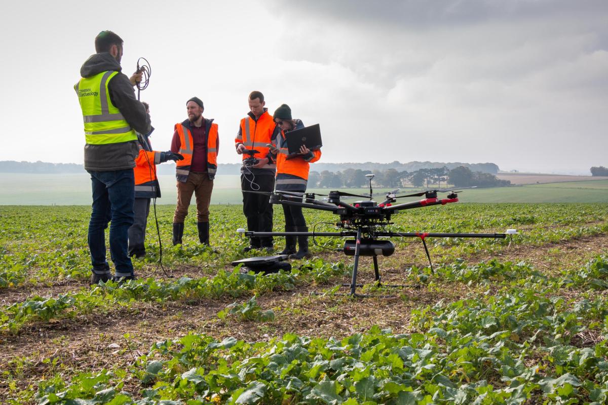
On any given site the heritage resource might include WWII coastal defences, eroding prehistoric landsurfaces or Romano-British salt working sites, not to mention shipwrecks and the remains of maritime infrastructure, either fully submerged or in hazardous soft foreshore sediments. Whether the solution involves marine geophysics or geoarchaeology, ROV and diving or drone photogrammetry, our experts work in close collaboration with our clients’ teams to design and deliver a safe, efficient and integrated solution.
How can Wessex Archaeology help work towards the Environment Agency’s goals?
A great deal of our work is incredibly relevant to the social and environmental aims of our clients across all sectors, but this especially applies in the flood and coastal space.
Whether it is scientific knowledge-gain – such as reconstructing the changing vegetation history of a site over time, or modelling the response of natural systems to changing climate stimuli and sea-levels - or engagement activities to enhance placemaking, build resilience and communicate the realities of flood risk in local communities, there are surprisingly few areas where archaeology and heritage cannot add value. Crucially for clients like the Environment Agency, this value can also be tracked against specific Sustainable Development Goals.
A few examples of how our work can add value are outlined below:
Environmental reconstruction and visualisation
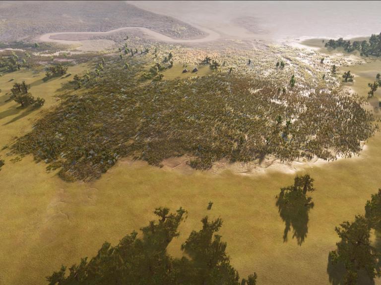
Pictured are some outputs from the Moors at Arne Coastal Change Project, where we have been working closely with the Environment Agency, Kier and Atkins to provide new habitats for coastal wildlife in the face of habitat loss directly linked to climate change.
Based directly on sedimentary, archaeological, palaeoecological, geoarchaeological, geophysical and geomatics data (from our own work and that of the wider collaborative delivery team), these outputs are exported from 3D scenes built using gaming technologies by graphics experts from our own in-house Studio.
They show how the vegetation, topography and landscape has changed over time against a backdrop of archaeological activity, changing climate and fluctuating sea levels through the Mesolithic, Neolithic and Iron Age.
Undertaken at the right time this kind of work can inform habitat recreation, biodiversity & rewilding initiatives at the design stage of a scheme, as well as being an invaluable tool for connecting communities with their landscape and engaging with climate change science.
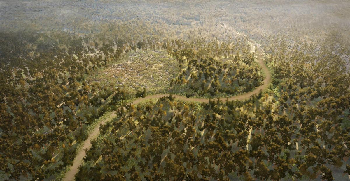
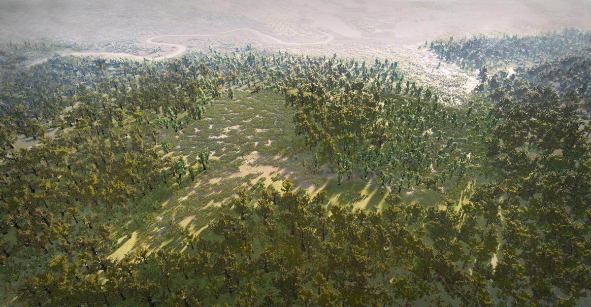
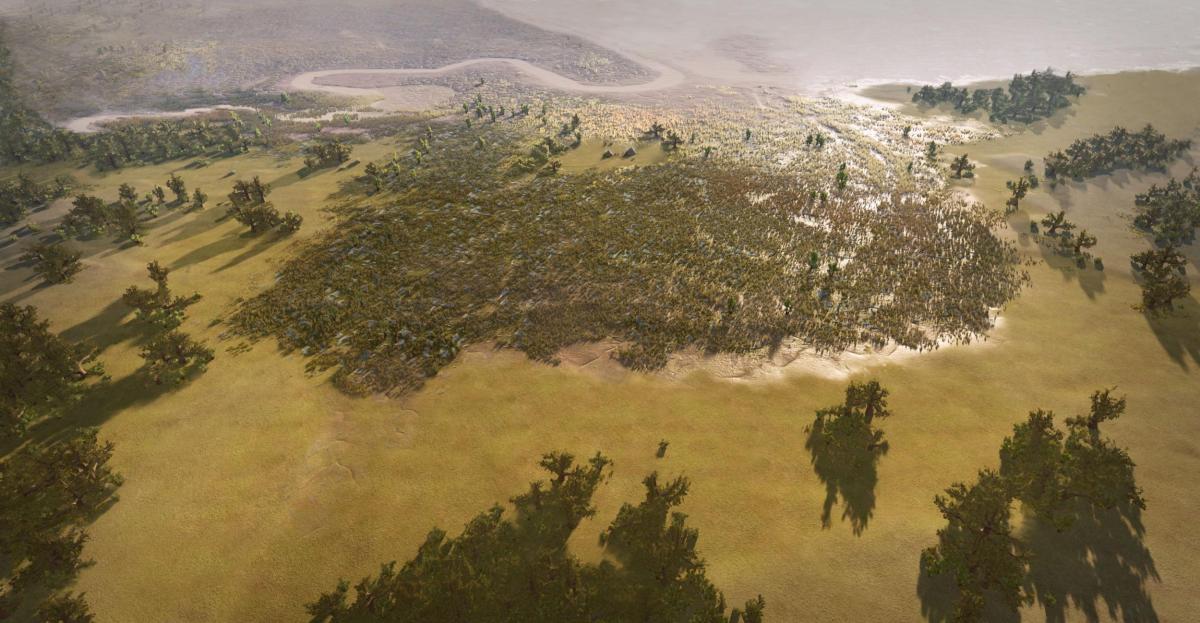
Mesolithic, Neolithic and Iron Age 3D reconstructions of the Moors at Arne Coastal Change Project
Wellbeing, community resilience, flood awareness, positive engagement
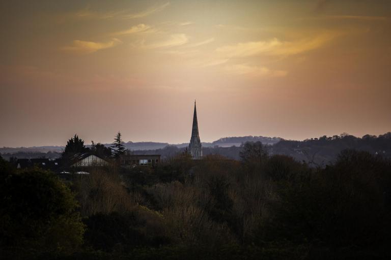
As part of the Salisbury River Park scheme team, our heritage inclusion and diversity specialists designed a bespoke project to deliver improved wellbeing and engage local communities with the local environment, and each other.
'The Ripple Effect' tells the story of the city's changing rivers over time, illustrating the need for the scheme in its evolving landscape context, and showcasing how biodiversity improvements will help re-establish aspects of these past ecosystems to ensure the city’s wildlife population continues to thrive into the future.
Mapping different perspectives around the Salisbury River Park landscape. Image credit James Aldridge
Heritage and Sustainability Podcast
If you’re interested in exploring the links between Heritage and Sustainability, check out the first of our podcasts on this theme here. Each month Mark Williams will be talking to different experts in their field, and exploring how archaeology and the Historic Environment can contribute to some of the most important issues facing humankind today.
In this episode, Sander Aerts talks to Mark about how environmental archaeology can contribute to understanding of climate change at both a local and global scale.