We are delighted to have received funding from Historic Environment Scotland and The Seafarer’s Charity to run a community heritage and engagement project investigating the maritime heritage of the Firth of Forth. Participants are using historic maps and charts alongside their own knowledge of the area to find and map buildings and other historic structures related to ships and boats from Stirling to both sides of the Outer Forth. Later in the year, they will turn to wreck-hunting and work with our marine specialists to investigate the dangers at sea, including rocks, sandbanks and other hazards, that mariners faced in the past. They will also look at how people navigated at sea in the past and identify areas where currently undiscovered wrecks are most likely to be.
Workshop Listings
The project aims to demonstrate the inter-connected nature of maritime heritage within the Forth region and bring participants together to celebrate that. For anyone taking part, it aims to develop skills in researching and understanding the heritage of the Forth as well as making connections with others interested in maritime heritage, through a series of online and in-person workshops across the Forth region running taking place until September 2026. Anyone can get involved, from those with long careers on the Forth through to those who just want to know more about the history of the area.
Why map the maritime history of the Firth of Forth?
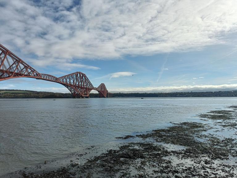
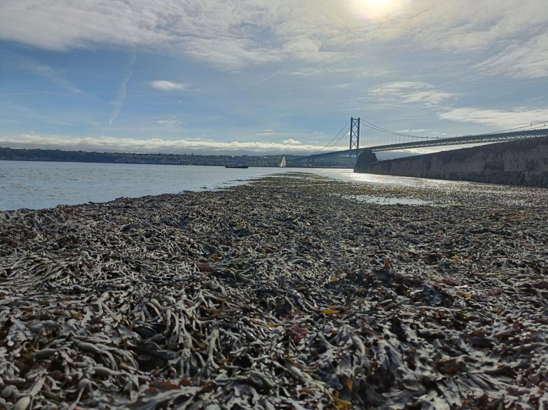
Before there was a good road and rail network, the sea was how people got around and moved materials long distance. The Forth has formed an artery for movement, trade and exchange in the centuries prior to easy, rapid land transport, enabling waterborne access to the heartlands of Scotland. It acted as a base for fishers and creelers, provided shelter from storms and nurtured the industries required for all of these. The Forth was Scotland’s window onto the wider world, with trading contacts extending across the North Sea, Baltic and out into the North Atlantic.
Fishers operating out of the Fife and East Lothian fishing ports landed vast quantities of fish and supported extensive support industries such as sailmakers, cooperages for barrels and boatbuilders. The export of coal, lime and stone led to the development of harbour infrastructure along both sides of the Forth, along with the pits, quarries and kilns that fed wagonways and tramways cutting across what is now a relatively quiet rural landscape. The import of materials to support all these industries, above all timber from Scandinavia and the Baltic for ships and pit props, saw huge timber yards and sawmills at South Alloa, Grangemouth, Bo’ness and Leith, along with the shoreside support for the sailors who brought the material.
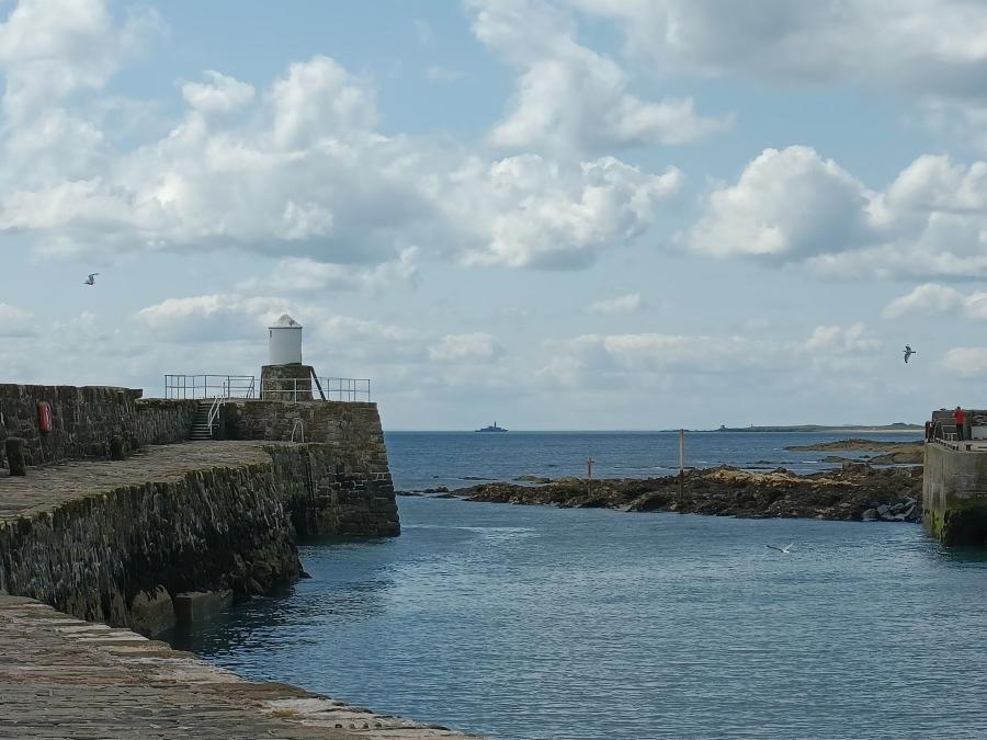
Norwegian churches, sailors’ homes and missions all demonstrate the long understanding of the dangers of isolation for mariners. The Forth remains an important seaway, with an extensive network of navigational aids like lighthouses, buoys and a professional pilot association to guide ships safely to and from port.
Stage One: Taking Stock
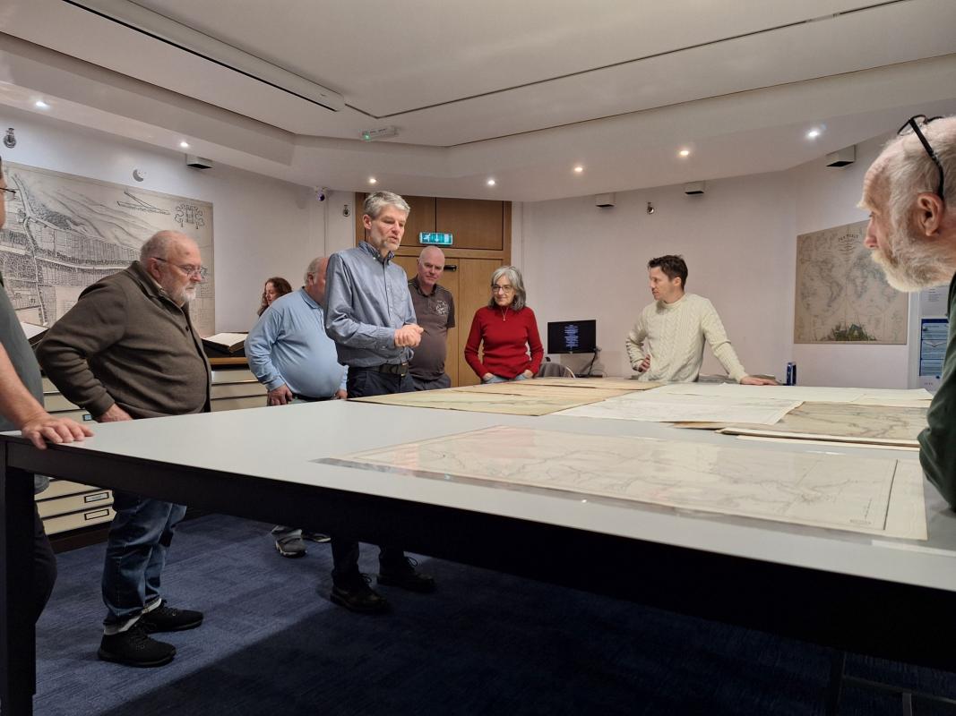
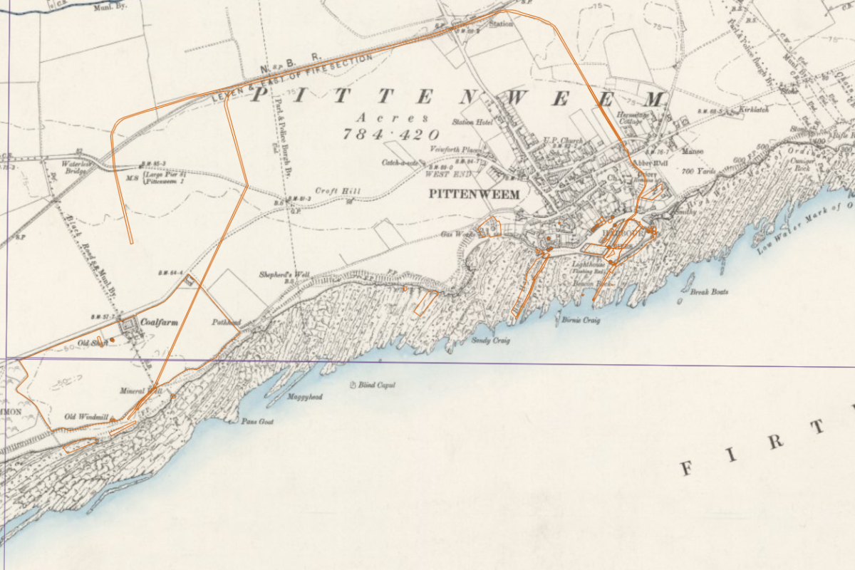
The first stage of the project is currently underway, and sees participants scanning historic mapping within the National Library of Scotland’s online map collections to find and record anything to do with the construction, operation and loss of ships.
They are also bringing in their local knowledge to hunt out those features either not mapped or not labelled, such as the day-to-day structures used to support the fishing fleet: net lofts where gear could dry; fuel stores; fish curing stations; and harbour cranes. They are travelling through time from their homes and offices, using mapping that in some cases goes back to the 16th century. This work is recording features that haven’t been included in historic environment records as yet, as well as supplying the base data for later analysis. It may be something as simple as a small pier built in the 17th century to load stone from a small quarry, right up to the massive docklands of Grangemouth and Leith with their hundreds of buildings and structures.
What we hope to demonstrate is how maritime world was the glue that held so much of society in the Forth region together. It, or industries associated with it, provided the main source of employment to thousands, hunted the food that sustained them, brought in material to construct their homes and exported both raw and manufactured goods across the globe. Today sea trade is still vital to the local economy and lives, even as the number of people directly connected to it has reduced down to a comparative handful.
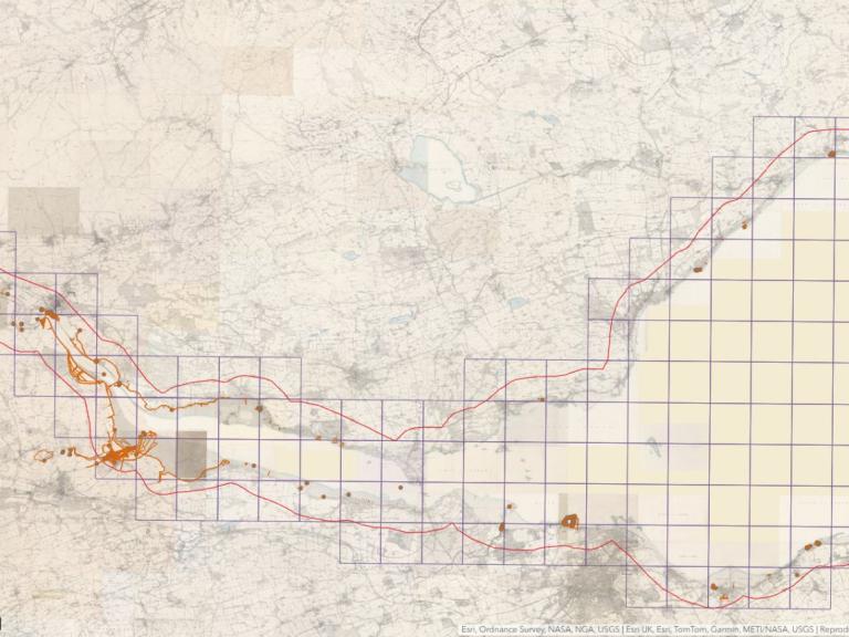
View the current map
Stage Two: Finding the Fleet
The second stage of the project sets out to understand marine navigation in the Forth across time: how did mariners work out where they were to avoid dangers and where were those dangers? It will bring across some of the data from the first stage, in particular the mapped-out lighthouses, buoys and other navigation aids to look at how and where safe navigation within the Forth was possible.
It will also use the overall dataset from Stage One to create a heat map of where activity was greatest and so indicating where ships were most likely to be travelling to and from. It brings together this data with the personal experiences of mariners who have spent their lives working in the Forth, including during the pre-GPS age when it was that specific knowledge that gave skippers and pilots confidence in their position.
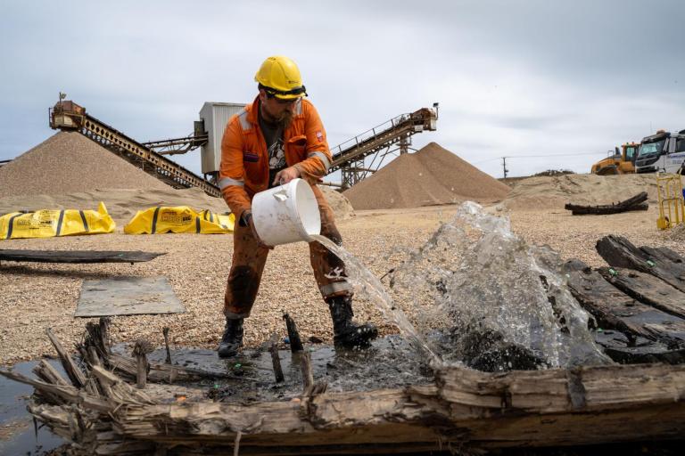
The mapping of wrecks across the region will investigate locations that were particularly hazardous to shipping, which would be likely to match up to where lighthouses and buoys have been placed. The geological mapping of the seabed also has a part to play in this investigation: areas of bare rock are less likely to preserve wreck material, while soft sediments like mud may have covered wrecks, obscuring them from our sight. The final work of the project will combine the data on navigational hazards, density of maritime activity, density of known wrecks and seabed sediment mapping to plot out where currently undiscovered wreck material is mostly likely to survive.
Get involved!
The project is looking for anyone with an interest in maritime heritage, the Forth and or experience at sea to get involved. No previous experience of online mapping or heritage is required, just enthusiasm and interest. You can contribute your stories, your experience, your time or a combination of those to help us map out the maritime heritage of the Forth. We’re also looking for people who have no knowledge of marine matters but are interested in learning from those who do.