Archaeology is certainly not what I thought it was. Having been taken into the conservation lab on my first day to see a Junkers Ju 88 compass on the shelf next to an ancient mammoth jaw bone, the sheer range of areas within the one title ‘archaeology’ was put into perspective. Anything can be discovered anywhere and as I was meeting everyone it was amazing to see the diversity of the jobs ranging from re-building old pots to analysing seabed scans. ‘Diversity’ is certainly a good word to sum up my first week too.
My second day was spent out collecting data with the terrestrial geophysics team. We collected data with a gradiometer which works by detecting small changes in the Earth’s magnetic field. Here I learnt that before any development is done, the archaeology is considered and sometimes an archaeological survey needs to be carried out. Sometimes the archaeology team concludes that there is nothing there, however if a whole settlement is found it may all need to be investigated, which can take weeks or months. When the data was checked on site we didn’t notice any obvious archaeology, however it was all still interesting to me. The data was then sent back to the office for processing and interpretation by other members of the team.
Wednesday was a very varied day. In the morning I learnt about the power of GIS, a mapping tool where data can be plotted, layers can be built up and complex maps showing a range of information can be produced. GPS and laser scanning were the topics of the afternoon. As well as learning how to set up and make a laser scan of an area, I also learnt the different types of GPS survey that can be done and plotted. The precision of the GPS was incredible, and it never ceased to amaze me how satellites that are thousands of kilometres away can be used to plot a point on the ground down to less than 10cm accuracy.
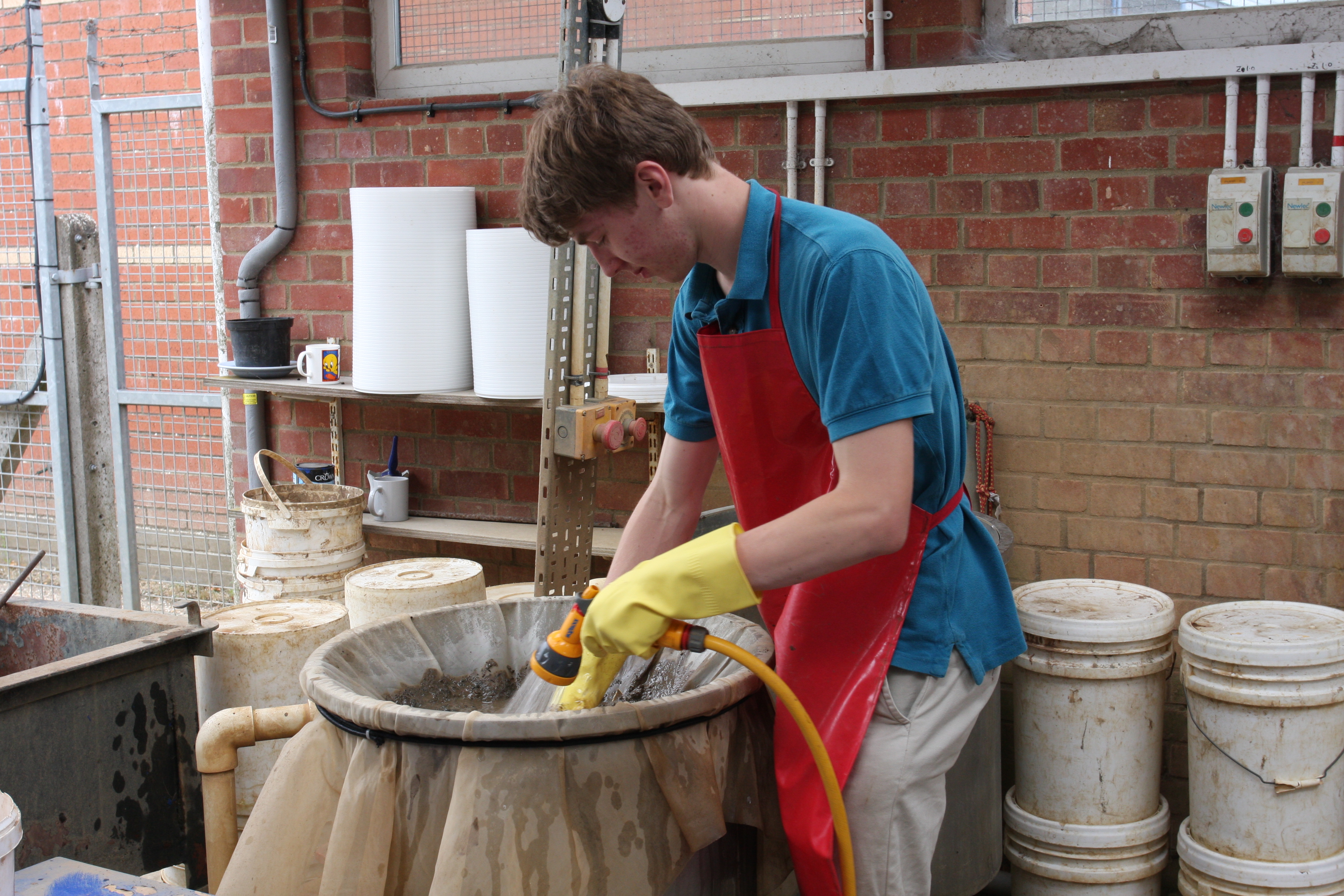
Rockworks is a fantastic program for analysing and mapping data from boreholes. Unfortunately, however, all the data has to be manually entered as I learnt on Thursday. This means retrieving data from borehole reports which are not always set out clearly. As well as mapping boreholes, the geoarchaeology and environmental department sieves and analyses soil samples. In the afternoon I discovered how to wash all the mud off the soil samples before separating out pieces of bone, charcoal and flint for analysis. Seeing how tiny burnt seeds, left behind after washing away the mud, could reveal so much about the site they came from was extraordinary.
It has been a very rewarding week and, having explored how to use geophysical processing software such as Fledermaus and Coda on Friday, I can’t wait to begin processing and analysing multibeam echosounder data next week, where I will hopefully spot some interesting undersea features and wrecks. I’m really enjoying my time at Wessex Archaeology and have gone home smiling every day.
By Tom Syndercombe – Nuffield Research Placement
For the second year running Wessex Archaeology is hosting a four-week placement student over the summer holidays as part of the Nuffield Research Placements scheme. This scheme offers sixth form students hands-on experience of a professional research environment to help them make better informed choices for the future. Placements provide insight into a wide range of science, technology, engineering and maths (STEM) careers, and are organised by the Nuffield Foundation.