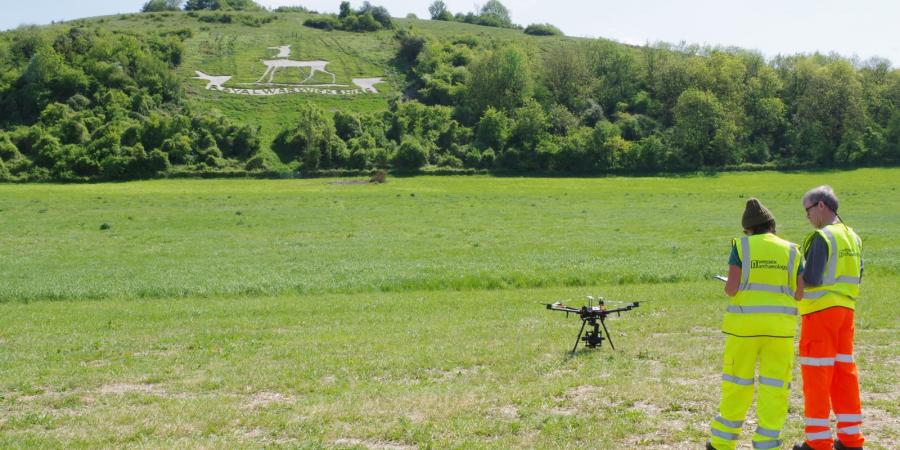
Wessex Archaeology has expanded its Unmanned Aerial Vehicle (UAV) capabilities, providing our clients with even greater options when it comes to approaching projects. We already have experience of aerial surveys conducted using UAVs, and as a holder of a Civil Aviation Authority (CAA) Permission for Commercial Operations (PfCO) we are fully licenced and insured to carry out aerial survey work.
With multiple professional grade UAVs at our disposal – offering us enhanced flexibility when carrying out a survey – and trained pilots providing availability across our offices, we are ready to carry out surveys of sites and buildings across the UK.
Through our aerial surveys we are able to provide accurate and detailed aerial imagery, video, and photogrammetric models, produced using a range of high-performance software. These techniques can be used to undertake measured building surveys, topographic surveys, volume calculations, condition surveys and more.
All stages of a project can benefit from aerial survey using a UAV – if you feel that an aerial survey will benefit you work, then please get in touch to discuss your needs.
You can find more information about our UAV services here.
Watch this space to learn of future aerial survey developments.