Topographic surveys involve recording surface features in 3D to produce a record of landscapes, and of man-made and natural features.
We employ a range of techniques and will select the most appropriate equipment and methodologies for your needs, so that we can efficiently capture high quality data.
When a topographic survey is required
Topographic surveys are used in many contexts, including landscape surveys, earthwork condition surveys and prior to archaeological evaluations and excavations. They can also be used as a method of calculating the volume of removed material after excavation.
Outputs can include topographic plans, showing interpretative detail and contours, earthwork profiles, hillshades, local relief models or 3D models. These are used to identify and interpret any features present in the survey area.
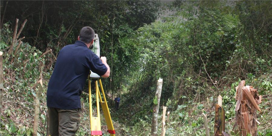
Specialist surveying equipment
Our survey teams use the latest equipment, including survey grade GPS, Total Stations, terrestrial laser scanners, Unmanned Aerial Vehicles (UAVs) and UAV mounted light detection and ranging technology (LiDAR).
All our topographic surveys follow the 2015 Historic England guidance Metric Survey Specifications for Cultural Heritage.
Team