Excavation is usually required by planning authorities when a development is proposed on an area where significant archaeological remains have been identified.
What excavation achieves
Through systematic investigation of the area we gain a comprehensive understanding of the historical period of the remains, as well as the activities, industry, economy and lifestyle of the people who used them.
Through detailed recording (written, photographic and digital), what is termed ‘preservation by record’ takes place, and a full archive is stored with the local museum.
When excavation is required
Planners generally require excavation to mitigate the impact of proposed development where significant archaeological remains have been identified through a previous investigation as part of the planning process (usually trial trenching, but occasionally fieldwalking, test-pitting, even geophysical survey if the results are particularly clear).
There are two forms of excavation:
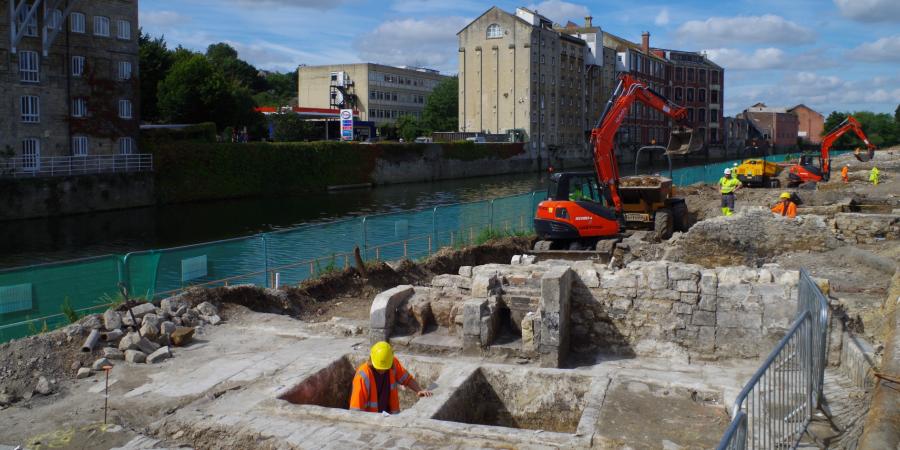
- Full detailed excavation: generally reserved for remains of highest archaeological significance.
- Strip, map and sample (also known as strip, map and record): usually reserved for larger areas to capture an overall plan of remains, the different phases present and the activity represented.
Rigorous objectives
Wessex Archaeology always carry out excavation against a backdrop of rigorous aims and objectives, often informed by regional and/or period-specific research agendas. Results are usually published, both as a formal academic report and as a popular publication designed for local communities and the wider public.
Wessex Archaeology also undertakes work in partnership with local societies, heritage bodies and volunteer groups on research focussed excavations.
Team