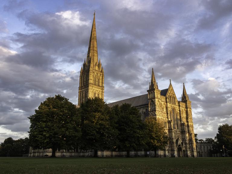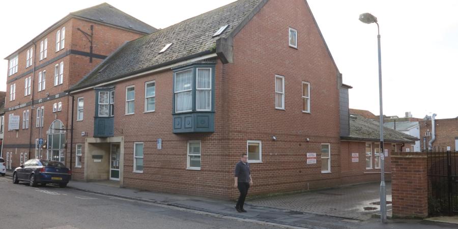
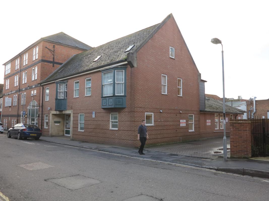
Our review of archaeology in the Three Swans Chequer is completed by looking at five small conjoining areas which were investigated in 1988 before the area was redeveloped. The premises demonstrate how buildings and their use are liable to change, often quite dramatically, at relatively short notice. The façade of the building on Winchester Street was retained but the excavated area extended from what is now the interior of McDonalds restaurant and continued to the site of the Brewery Tap, a former rough cider house, on Rollestone Street. This establishment, which reputedly sold 150 gallons of scrumpy each week, at 9p a pint when it closed in 1972, is now the Three Swans surgery!
The results of the excavation were limited; no detailed analysis of the pottery was undertaken to construct a detailed timeline for medieval development on the street frontages. A summary report considered that Winchester Street contained properties of medieval/post medieval date with those on Rollestone Street were predominantly listed as post medieval. Despite these limitations, we can see some basic similarities with other work in the chequer.
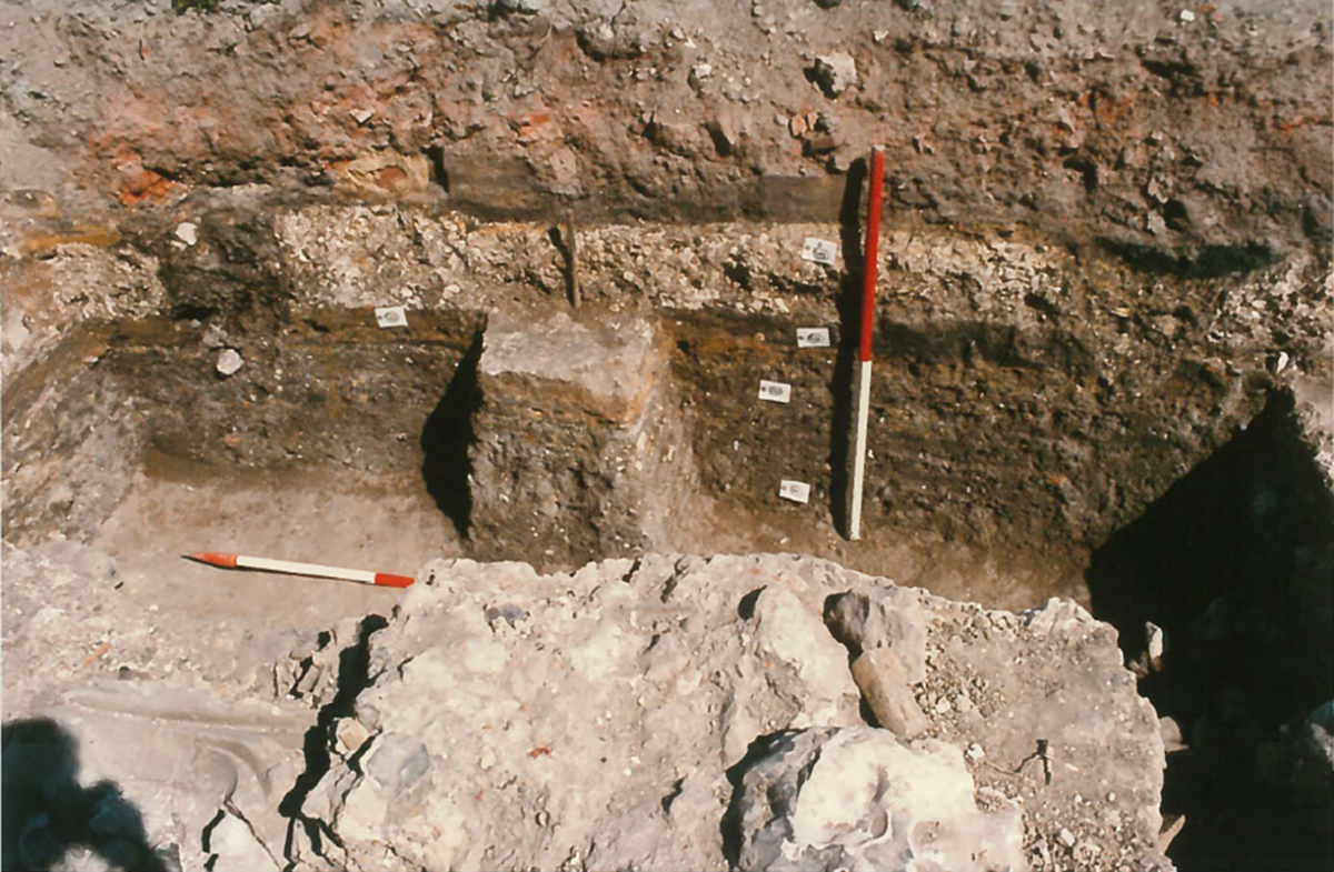
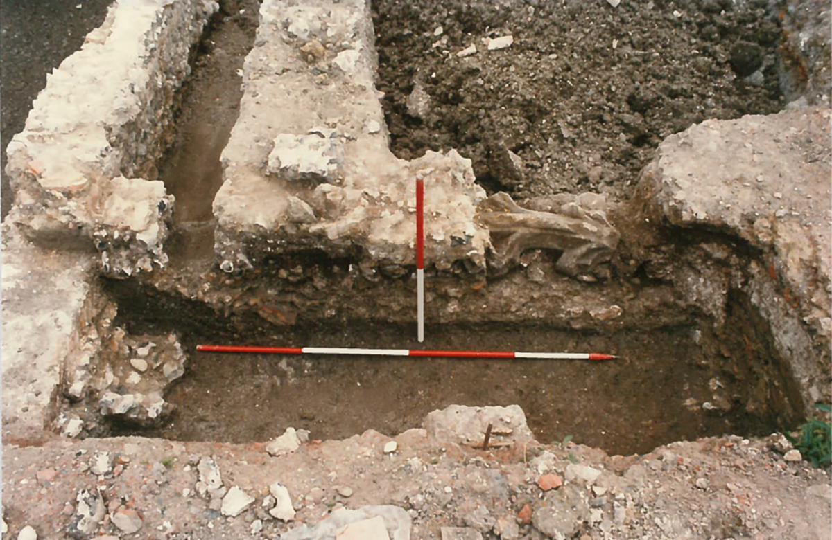
Winchester Street extends east from the Market Square and marks the principal route to Winchester, factors which were guaranteed to accelerate demand for property. Development commenced when layers of material were dumped in to provide stable conditions on which to construct mortared flint and chalk wall foundations. We cannot be certain when this happened, but the pattern copies the process we saw last week for 13th and 14th century buildings at the Bus Station. The building on Winchester Street was represented by a back wall, which ran parallel to the street frontage, two internal divisions that were perpendicular to the street, with floors of compacted chalk. Continuous, long-term occupation can be guessed by a series of superimposed floors which were laid down within the original building footprint. Traces of an ancillary building with associated floor and a chalk lined well were located at the rear of the building.
Development of Rollestone Street was more limited and was represented by a layer of crushed chalk which was classified as an early street surface. This was associated by two robbed wall foundations, one aligned N-S and the other aligned E-W.
Activity to the rear of the properties was restricted to flint and mortar tenement boundary walls which ran perpendicular to Winchester Street with a probable passage between tenements. These boundaries, as we have seen previously, formed an important component in the layout of property divisions in Salisbury, although many have been lost to later building infill
Post medieval activity on Winchester Street was less well preserved. This was attributed to the site being open for much of this period but may, just as likely, indicate that post medieval layers and building remains were removed by subsequent redevelopment. This is a constant possibility on any archaeological site; layers can just as easily be removed as they are to be added. The limited evidence comprised a new brick-lined well, which was located inside the footprint of the earlier building. The medieval well was also refurbished using bricks.Subsequent occupation on Rollestone Street was also preceded by a period of abandonment after which a building with mortared flint foundations, an internal partition and associated floors was constructed. A hearth was built against the main wall, a location which indicates that the hearth was linked to a chimney, an architectural feature that became more prevalent from the 15th or 16th century. This evidence fits comfortably with discoveries on Rollestone Street at the former Bus Station, where buildings with flint, chalk and Greensand foundations, internal dividing walls, clay floors and external yards, were established by this time. The building was subsequently extended to the west with additional floors. The foundations of this extension included a large fragment of decorated window tracery or arcading from a tomb built in the Perpendicular style (14th -16th century).
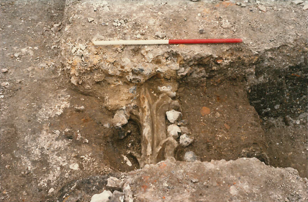
It is impossible to know where this fragment came from, but, as we saw in Endless Street, fragments from church refurbishment or perhaps those created by the Dissolution of the Monasteries were sometimes used for more secular purposes.
Additional post medieval walls, aligned N-S, were found in the back-lands. They were associated with a hearth and floor or yard surfaces which extended towards the east side of the site. These ill-defined structures may relate to outbuildings and yards on Winchester Street, Rollestone Street or to the Old George Inn, on the corner of these two streets. Irrespective of ownership they illustrate infill of the back-lands immediately behind the street frontage, which allows a more comprehensive reconstruction of Salisbury to be made.