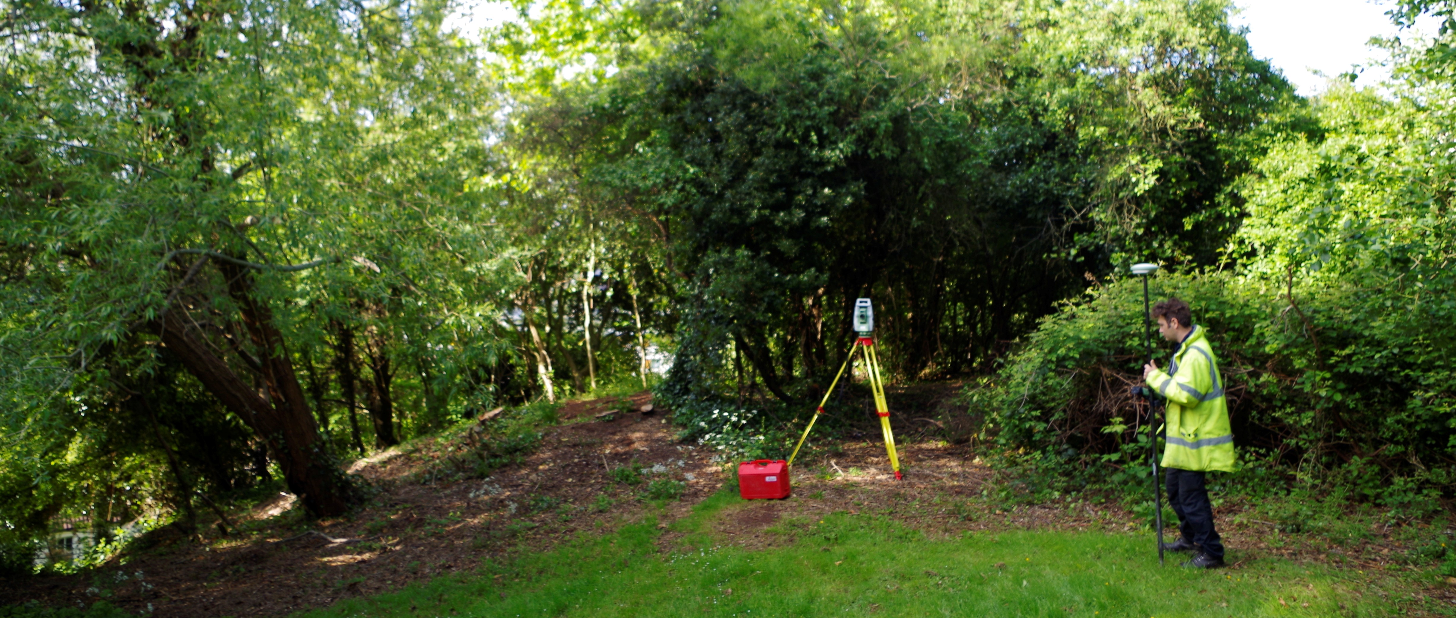
During the English Civil War new defences, comprising a bank and ditch interspersed with forts and bastions, were constructed around Bristol, running from the River Avon to Brandon Hill. At the western end of this defensive loop was a fortified promontory, now known as Water Fort, which guarded the seaward entrance to the Avon. Wessex Archaeology West has undertaken a topographic survey of Water Fort, and a desk-based assessment, for Bristol City Council. Although the fort is ascribed to the Civil War period, it does not actually appear on reliable historic maps until 1883.
To find out more about this site read the project page here.