Ground Penetrating Radar (GPR) survey allows us to create an image of below ground features in three dimensions. The technique’s ability to work over most surfaces and within buildings means GPR is often the only effective geophysical survey option.
How GPR works
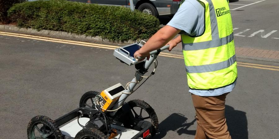
GPR works by transmitting an electromagnetic pulse into the ground at regular intervals. These pulses then reflect off features in the ground and are detected by a receiver antenna. By measuring the strength and time delay of the responses it is possible to estimate the depth of the below ground features. Collecting GPR data across an area also allows for the mapping of below surface features, giving an estimate of size, shape, and depth.
Uses of GPR
GPR can be used as both a prospection and characterisation tool. It is best used as a prospection tool in areas where other techniques are unlikely to be successful. This is generally in urban areas where the ground surface and surrounding buildings limit the effectiveness of more traditional prospection techniques such as magnetic and earth resistance survey. In more open areas GPR is best used when targeting and characterising known anomalies or features. In these cases, GPR can add detail to existing knowledge by better determining the dimensions and possible material of a feature, as well as adding a third dimension to interpretations with depth information.
The technique is best suited to the detection of features that provide a strong contrast with the surrounding material. For Archaeology, this is most typically building remains and other stone features. However, it is also useful for detection of voids (vaults, chambers, and cellars) and cut features (ditches, pits, and graves).
Our Experience
Wessex Archaeology have a proven track record in the provision of archaeological GPR survey solutions to a wide variety of sectors and industries. Surveys have been conducted as part of planning requirements for housing, transport, and utilities industries. GPR has also been used to assess the survival of scheduled monuments, detail historic properties, identify unused space in cemeteries, and to locate buried tanks and chambers.
Wessex Archaeology also has the capability to deliver high density 3-D radar survey. The Mala MIRA system comprises an array of several closely spaced antenna to provide a much more detailed survey than is practically possible than with a single antenna. The array can be vehicle towed to allow quicker coverage of large areas, making it a more practical prospection solution than single antenna survey as well as providing a much higher level of detail.
Looking for another Archaeological Geophysical Survey?
To find out more about other services provided by our Terrestrial Geophysics team read the Geophysical Survey Service page here.