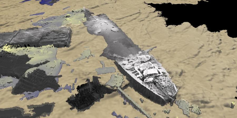
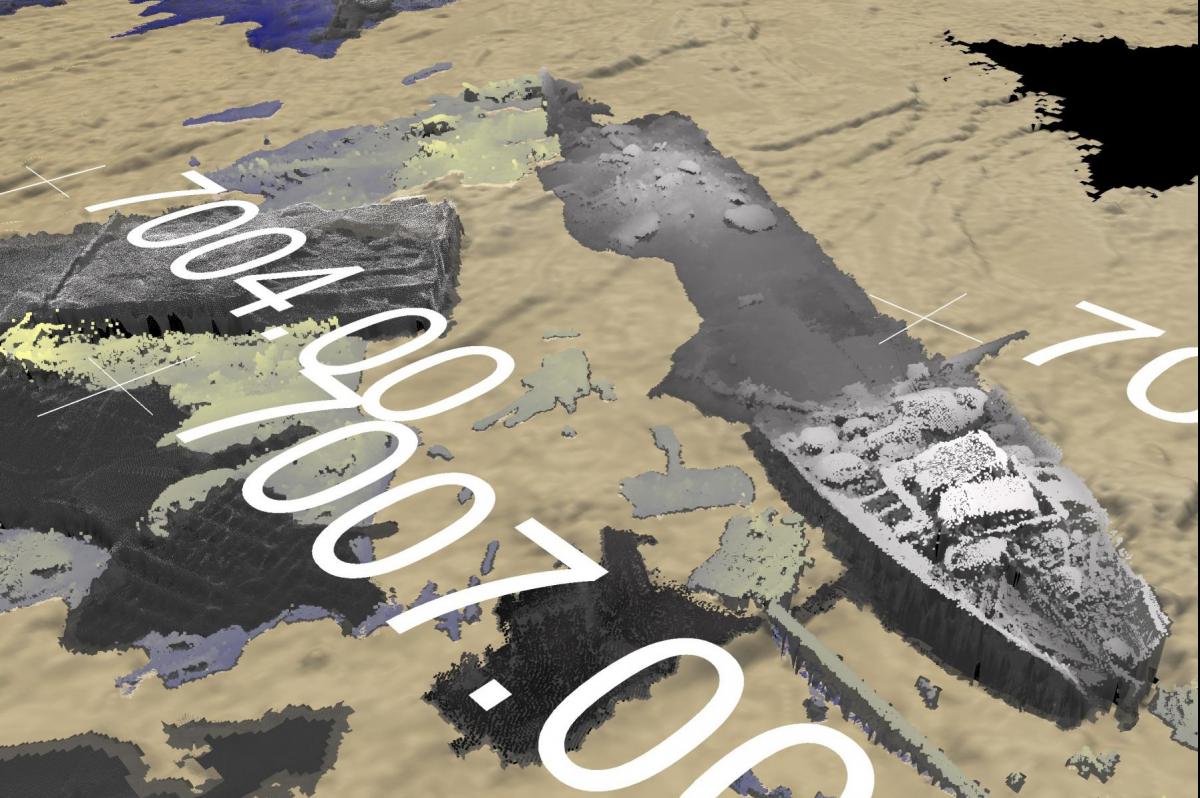
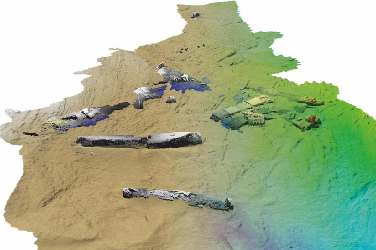
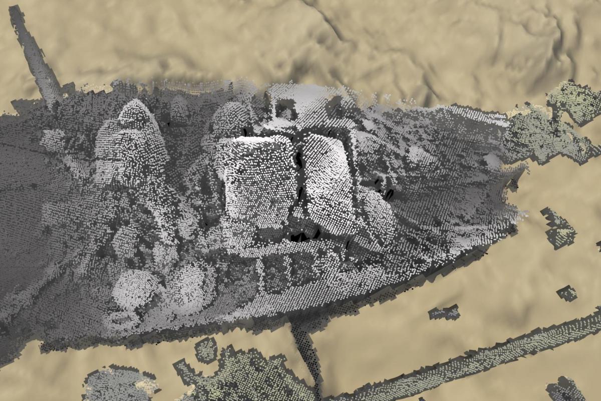
WA Coastal & Marine was commissioned by Historic Scotland to provide high-resolution multibeam bathymetry data targeted on a number of wreck sites in Scapa Flow in the Orkney Islands.
Scapa Flow is a large natural harbour in the southern part of the Orkney Islands in the North of Scotland, which served as Britain’s main naval base during WWI and WWII. Its waters hold Scotland’s highest concentrations of shipwrecks. WA Coastal & Marine manganed the acquisition of multibeam data over the wrecks by MMT Netsurvey and subsequently conducted an archaeological assessment of this multibeam data.
In addition to this WA Coastal & Marine conducted and a Desk-Based Assessment (DBA) of the wreck sites covered by the multibeam data in order to enhance the historic environment record with respect to these sites and to support Historic Scotland’s work on the Scottish Marine Protected Areas Project.
Read the full report below.