Wessex Archaeology has been involved in a research project in the USA, investigating palaeolandscapes in the Gulf of Mexico. The project was designed by Dr Amanda Evans of Coastal Environments Inc. (CEI) and focuses on using geophysical and geoarchaeological survey techniques to identify submerged landscapes on the north-western Gulf of Mexico Outer Continental Shelf.
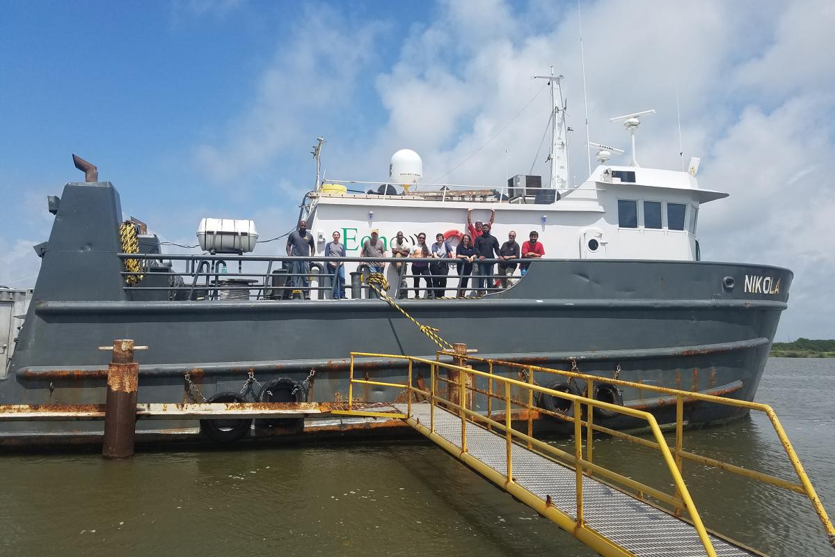
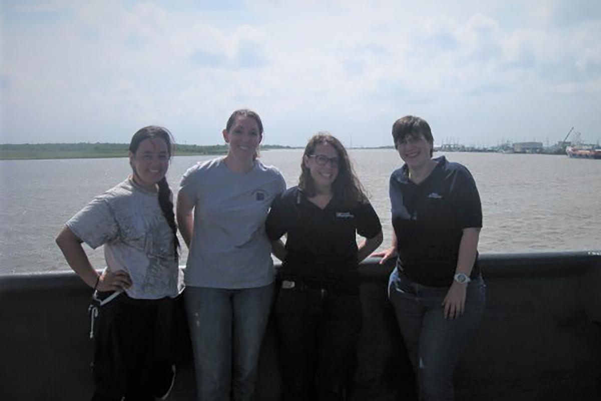
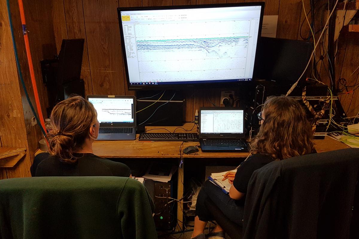
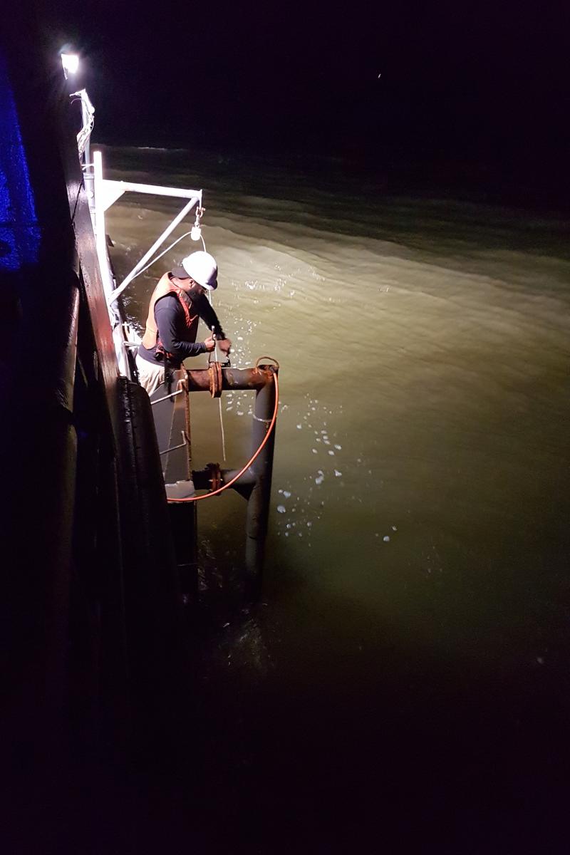
As part of this project, members of Wessex Archaeology’s Geoservices team have been working onboard survey vessel R/V Nikola in the Gulf of Mexico, acquiring marine geophysical data which will be used to help map out these landscapes.
Project background
We know from previous research that people were living along the north-western Gulf of Mexico and coastal Texas and Louisiana as early as 13,000 years ago. These ‘Paleoindians’ would have hunted and gathered food and moved around frequently within the landscape. During this time, sea level would have been a lot lower than it is today, so there was more land available. However, when the glaciers melted at the end of the last glacial period, the sea levels rose and drowned areas of land that may have been home to people many thousands of years ago.
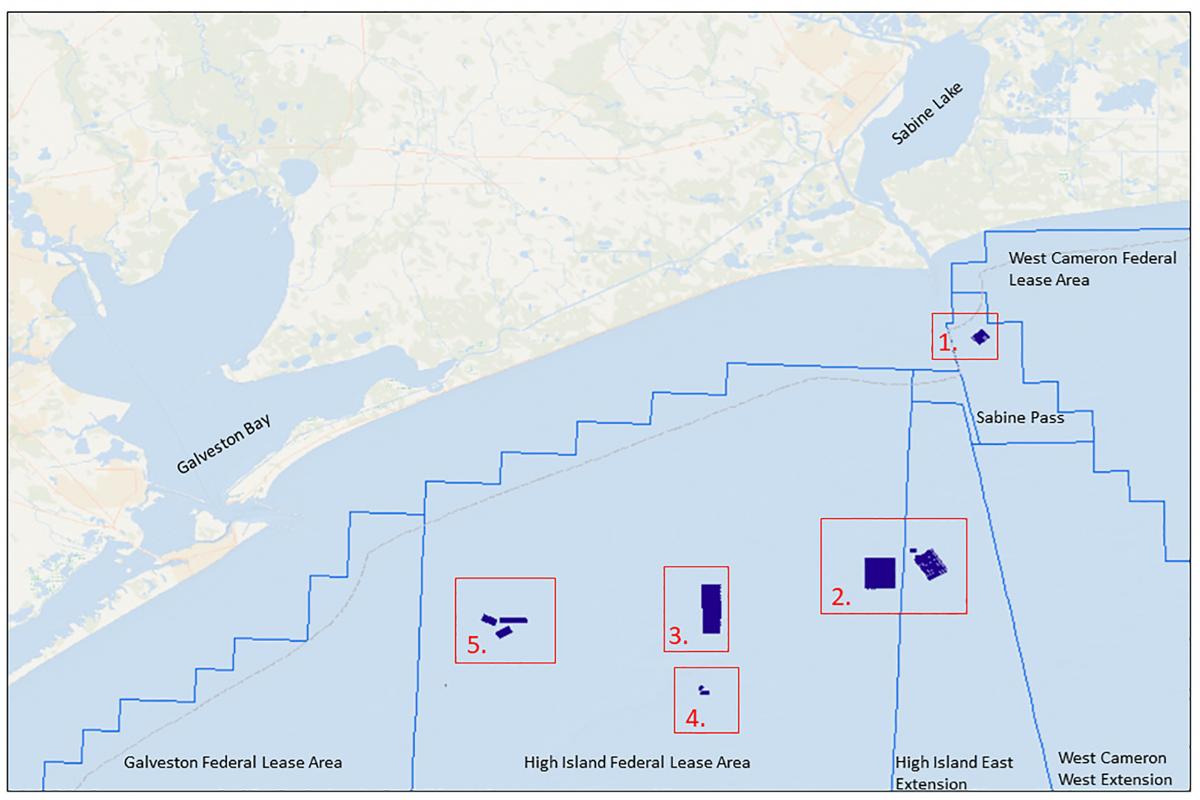
Previous offshore geotechnical investigations in the area have revealed two possible features of archaeological interest, which are approximately 48 miles apart. Both of these features returned conventional radiocarbon dates of between 8,000 and 8,630 BP, which relates to the Paleoindian period in Texas and Louisiana. Located on the coastline between these two features is McFaddin Beach, where numerous Paleoindian artefacts have been found washed up on the shore. The source of these artefacts is thought to be offshore, however the location has not yet been found.
We could think of no better partner to work with in our research. The data we observed in the field exceeded our expectations.
Project objectives
The project’s overarching aim is to build up a picture of these submerged landscapes, to map what was there, and collect geotechnical samples that help tell us about the environment that people may have lived in.
Although numerous studies have shown the importance of coasts, rivers and wetlands in migration and colonisation studies, many of the coastal margins that existed during early occupation have not been investigated systematically because they are now underwater. However, evidence of these former terrestrial landscapes is still represented in the geological record.
Wessex Archaeology’s main objective is to use geophysical data to identify and characterise these former terrestrial landscapes, that would have been available to early human populations in the north-western portion of the Gulf of Mexico Outer Continental Shelf. These data would then be used to select targeted sample locations for sediment cores which will be collected in the next phase of the project.
Geophysical methods
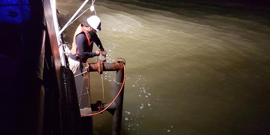
For the investigation of submerged landscapes, the main geophysical tool used is a sub-bottom profiler (SBP). An SBP sends out an acoustic wave, some of which bounces off the seabed and the rest which penetrates the seafloor. When this acoustic wave hits a sediment horizon below the seabed, some of the sound bounces back. The time it takes for these acoustic waves to return are then used to calculate the depth at which these sediment horizons can be found. A horizon can be a change in the sediment type, for example between a layer of rock and a layer of sand. It can also show where there is a major change in angle and character of deposits, such as the cut of an ancient river channel, which has been filled by mud and sands.
For this project, two different SBPs were used concurrently; a Chirp and a parametric sonar. A Chirp is a relatively high-frequency SBP, that is known to reliably produce sub-seafloor data in the survey area. Parametric sonar uses two different frequencies which are emitted at the same time. These two frequencies then interact with each other in the water column to produce a lower frequency signal with a very narrow bandwidth. This, along with a high sample rate, means that a parametric sonar can produce a much more detailed image, which in turn means much thinner layers of sediment can be identified. A combination of the two systems should help provide a more detailed picture of the submerged landscapes in the area.
Although parametric sonar data have been used to map submerged landscapes in the North Sea and United Kingdom (UK) waters, they are less commonly used in the United States. Wessex Archaeology has extensive experience using parametric sonar on a variety of projects, such as Area 240 in the North Sea, and as a result were asked to provide expertise in the acquisition and interpretation of parametric sonar data for this project.
During the 12 days of offshore work, over 668 line kilometres of data were acquired
The Paleoindian period in Texas and Louisiana ranges from 11,500 BC to 8,000 BP approx.
Over 260 Paleoindian artefacts have washed ashore on McFaddin Beach, Texas
Our approach
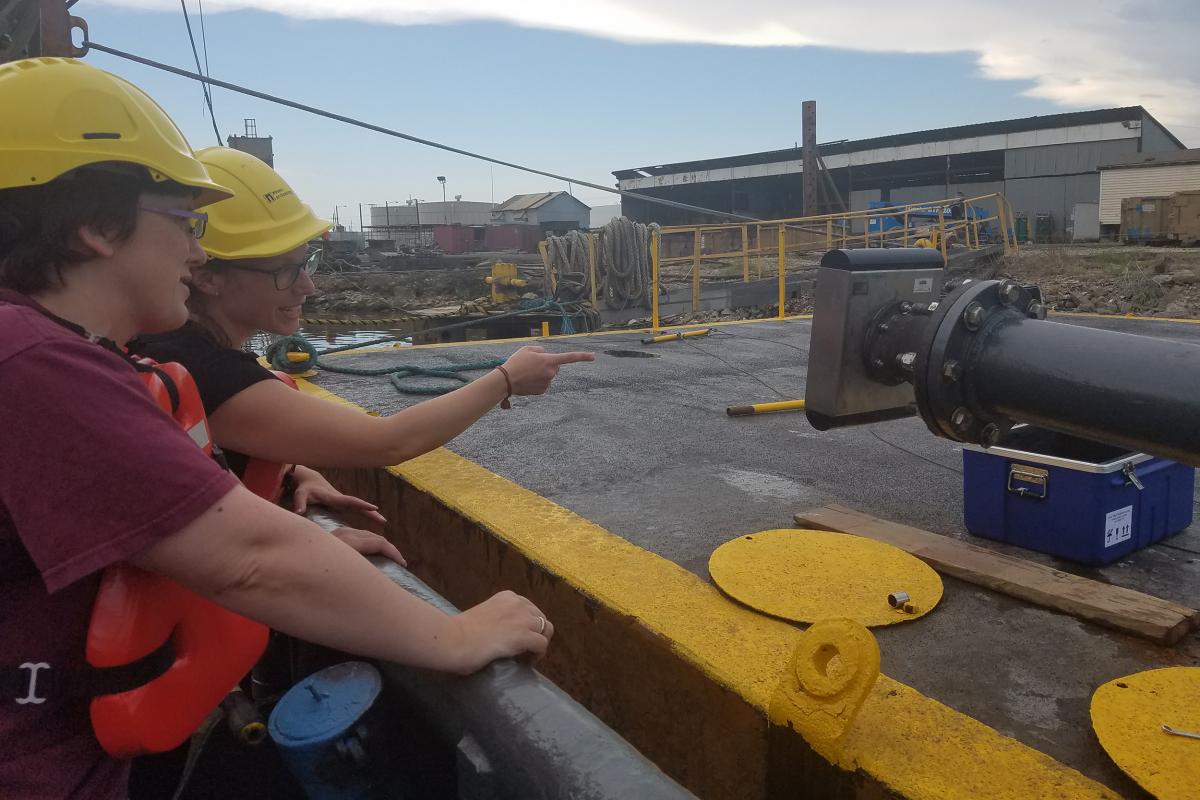
Geophysical survey was carried out over 10 different areas, ranging from one to seven kilometers in length. These areas targeted known features of possible interest, such as a probable buried shell midden and a possible archaeological horizon containing charcoal.
The geophysical data are now in the process of being interpreted. Once the interpretation has been carried out, areas will be selected for geotechnical sampling. Currently, sampling is due to take place in year two of the project. This involves collecting six-meter-long tubes of sediment, which can be analysed in order to date any former terrestrial landscapes identified, as well as to provide information on what might have been growing and living in the area at the time. This will allow us to build a better picture of the past environment.