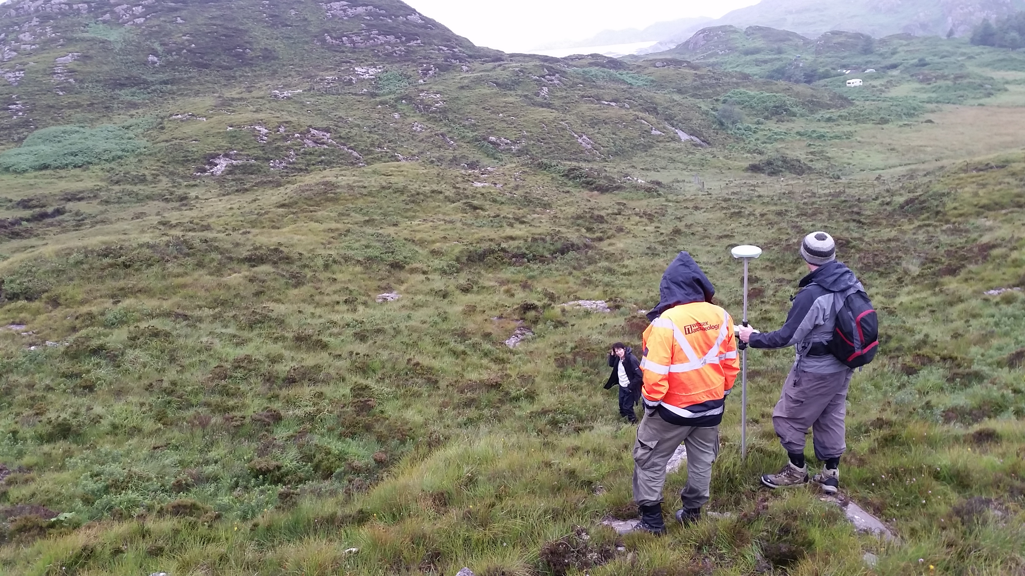
Two weeks ago Wessex Archaeology (Scotland) ventured out to the Isle of Skye for a two-day training session on deploying GPS survey in remote locations. Many of the places we work in are remote, coastal or offshore, and resources like mobile signals and especially mobile internet cannot be relied upon. Modern survey-grade GPS systems require a mobile internet signal to produce high-precision positions in real-time.
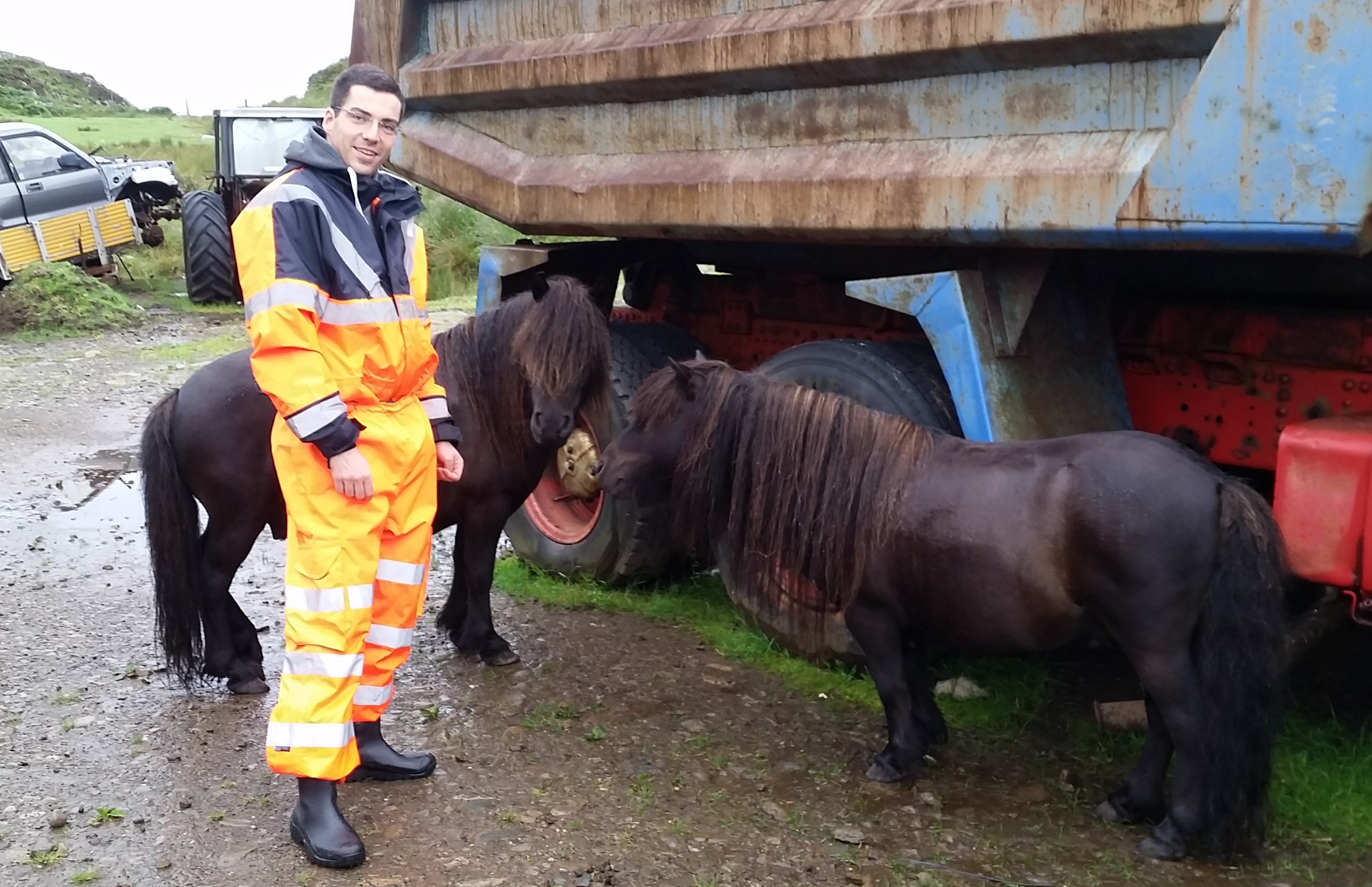
In preparation for this, Damien, our Geomatics Officer from Salisbury, introduced the team – in a local park in Edinburgh – to the functionality and use of the Leica GNSS/GPS system for post-processed kinematic surveying. When the team felt up to the task at hand, they headed off to the south of Skye to put their training into action! Apart from GPS points, they encountered some very beautiful coastal scenery, lots of midges and some very inquisitive Shetland ponies!
Back at the office the GPS the points were processed and mapped out. Despite the challenges of working off-grid, the mixture of topographic, geomorphological and archaeological survey produced very high-precision results. Overall a very successful training session!