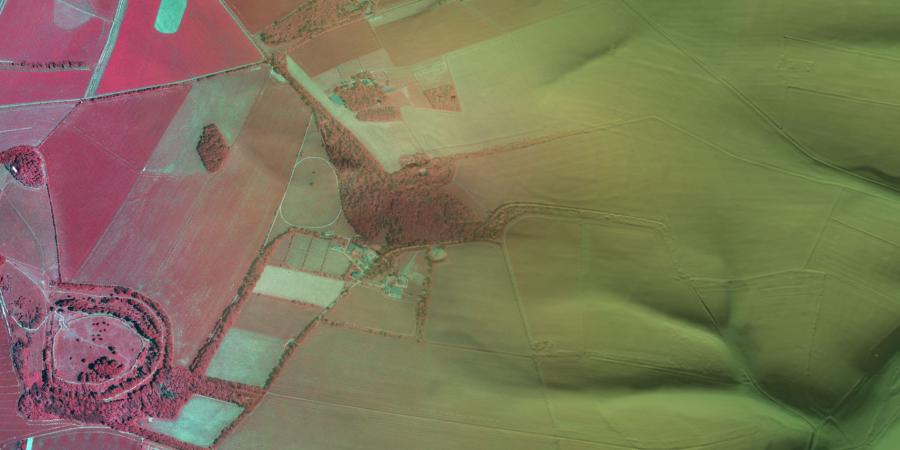
Wessex Archaeology has a wealth of experience in using remote-sensing techniques to carry out landscape assessments across the UK to inform a range of projects from major infrastructure schemes to research. These techniques can be used to rapidly assess large areas for archaeological potential, including environments where it is not feasible to deploy topographic or geophysical surveyors.
LiDAR survey
LiDAR (Light Detection and Ranging) survey is an excellent way of capturing surface data over entire landscapes. We can identify previously unrecorded sites, determine the full extent of known archaeological sites and monitor the condition of monuments. This technique can penetrate vegetation cover to record the ground surface, making it invaluable in examining densely wooded areas, where other survey techniques would either be unusable or take a long time.
Multispectral and Hyperspectral Imaging
Multispectral and hyperspectral imagery records data which is captured across and beyond the visible light spectrum. This is particularly useful when investigating archaeological features which have left little or no surface trace. We can investigate vegetation stress, a common way to detect archaeological remains, by analysing the data and identifying any contrasts between the underlying soil and the overlying vegetation. This complements data from LiDAR or Unmanned Aerial Vehicles (UAVs) by highlighting features that may otherwise be unidentifiable.
Data collection
As well as analysing existing data sets, Wessex Archaeology can undertake the data collection for your project. This allows us to collect higher resolution data or fill in data gaps to fulfil project requirements.
Team


Get in touch
Contact Chris Breeden, Head of Geomatics

