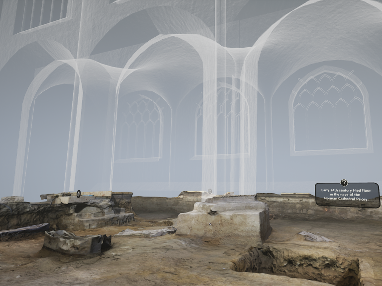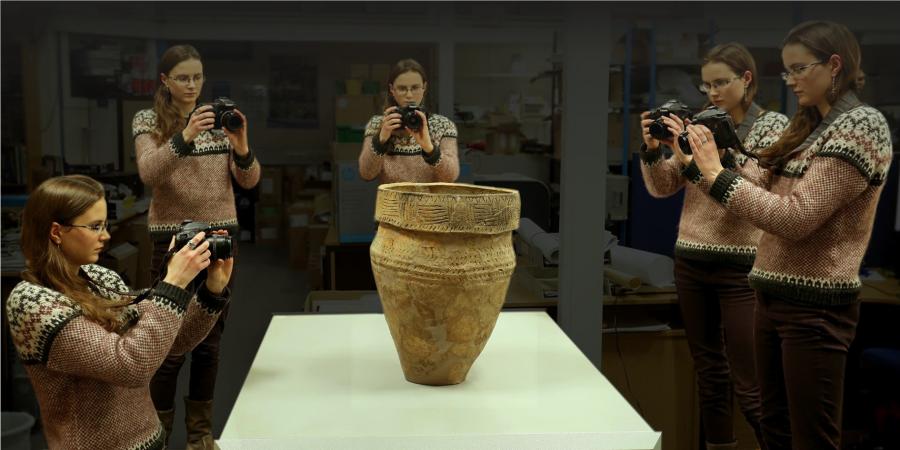
Photogrammetry creates accurate fully textured 3D models from photographs and can be used to capture a range of subjects from the smallest objects to entire landscapes. From this data we can create 3D prints, videos and orthoimages (scaled images with no distortion or perspective), which allow for more accurate and complete interpretative site drawings than ever before.
Our Unmanned Aerial Vehicle surveys use photogrammetry to produce landscape models and orthographic images. The same principles can be applied with hand-held cameras to create models of artefacts, site features and buildings. Because we put high-quality data at the centre of all we do, Wessex Archaeology have invested in the best cameras and staff who are experts in photography.
When photogrammetry is required
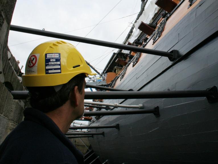
Photogrammetric surveys are perfect for recording subjects where a very high level of detail is needed. Wessex Archaeology can record buildings so that details on individual stones can be seen, allowing conservators to view the structure remotely with exceptional clarity, or record features on site with a greater level of accuracy than traditional techniques. This technique is especially useful for buildings which have recessed or protruding elements to their facades. This contrasts with rectified photography which can only be used on a flat surface.
What photogrammetry is used for
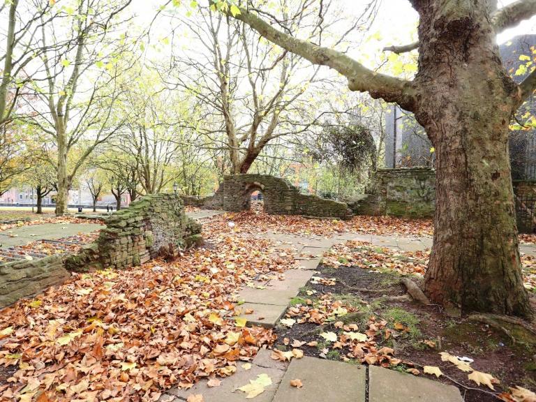
The speed and accuracy of photogrammetry mean that it is now used for many purposes including recording buildings, collapsed structures, graves, complex archaeological features, artefacts and underwater sites. This data quality gives archaeologists a far better understanding of sites and artefacts, and offers a more comprehensive record.
The data collected can be used to share information with specialists around the world, allowing them to view objects, features and buildings remotely, for public display or to produce more accurate drawn records. These drawn records can be incorporated into designs and specifications, publications or site archives.
To explore more models our online interactive gallery follow this link.
Find out more about our Heritage Interpretation Services here.
Team